Description
Geosoft Oasis montaj Review – Industry-Leading Geoscience Data Processing and Visualization Software
In the world of geoscience, where massive datasets and complex subsurface interpretations are the norm, having a reliable and powerful data processing platform is essential. Geosoft Oasis montaj has long been recognized as one of the most trusted and widely used geoscience software solutions for geophysicists, geologists, and exploration professionals.
Developed by Seequent, Geosoft Oasis montaj is designed to manage, analyze, and visualize large volumes of geoscience data with precision and efficiency. From mineral exploration to environmental studies, this software provides a comprehensive toolkit for transforming raw data into meaningful insights.
In this detailed review, we explore everything you need to know about Geosoft Oasis montaj, including its key features, real-world applications, performance, pros and cons, and why it remains a top choice in the geoscience software market.
Introduction to Geosoft Oasis montaj
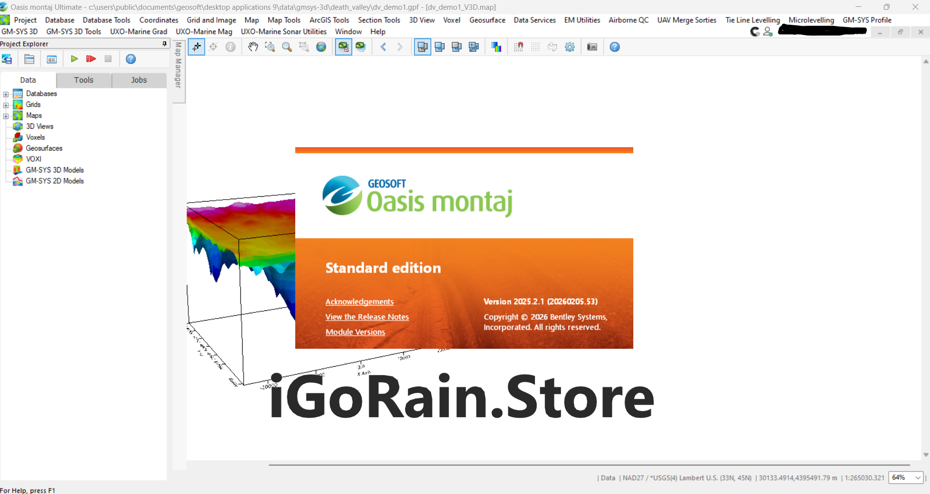
Geosoft Oasis montaj is a professional-grade geoscience software platform used for processing, interpreting, and visualizing geophysical, geological, and geochemical data. It acts as a central hub where geoscientists can:
- Import and manage large datasets
- Apply advanced processing techniques
- Create detailed maps and 3D models
- Interpret subsurface structures
Unlike basic GIS tools, Oasis montaj is specifically built for geoscience workflows, making it highly specialized and powerful for exploration and analysis.
Whether you are working in mining, oil and gas, groundwater studies, or environmental assessments, Oasis montaj provides the tools needed to handle complex datasets with confidence.
Key Features of Geosoft Oasis montaj
1. Comprehensive Data Management System
Handling geoscience data efficiently is a major challenge.
Oasis montaj offers:
- Centralized database management
- Support for large datasets
- Integration with multiple data formats
- Easy data organization and retrieval
This allows users to manage everything from airborne geophysics data to ground surveys in a single environment.
2. Advanced Geophysical Data Processing
Geosoft Oasis montaj excels in processing geophysical data.
Users can perform:
- Magnetic and gravity data processing
- Electromagnetic data analysis
- Radiometric data interpretation
- Filtering and enhancement techniques
These tools help reveal subsurface structures that are not visible in raw datasets.
3. Powerful Mapping and Visualization Tools
Visualization is critical in geoscience.
Oasis montaj enables:
- High-quality 2D map creation
- Contour mapping and gridding
- 3D visualization of subsurface data
- Custom map layouts for reporting
Clear visual outputs make it easier to communicate findings to stakeholders and decision-makers.
4. Integrated GIS Functionality
While not a full GIS replacement, Oasis montaj includes strong GIS capabilities.
Features include:
- Spatial data integration
- Coordinate system management
- Layer-based mapping
- Compatibility with GIS workflows
This allows seamless integration with other geospatial tools.
5. Extensibility with Add-On Modules
One of the strengths of Oasis montaj is its modular architecture.
Users can expand functionality with specialized extensions for:
- Airborne data processing
- Marine geophysics
- Ground surveys
- Advanced inversion modeling
This flexibility makes it suitable for a wide range of geoscience applications.
6. Automation and Scripting
For repetitive tasks, Oasis montaj offers automation features.
Users can:
- Create custom workflows
- Automate data processing steps
- Use scripting for advanced operations
This significantly improves efficiency in large-scale projects.
Practical Use Cases of Geosoft Oasis montaj
1. Mineral Exploration Projects
A mining company analyzing airborne survey data needs to process large datasets quickly.
With Oasis montaj:
- Raw geophysical data is cleaned and filtered
- Anomalies are identified
- Geological structures are interpreted
- Exploration targets are defined
This leads to more accurate drilling decisions and reduced exploration risk.
2. Oil and Gas Exploration
In hydrocarbon exploration, understanding subsurface formations is critical.
Oasis montaj helps by:
- Processing seismic-related datasets
- Integrating geological and geophysical data
- Visualizing subsurface structures
This improves the success rate of exploration campaigns.
3. Environmental and Groundwater Studies
Environmental scientists use Oasis montaj to:
- Analyze contamination data
- Map groundwater systems
- Assess environmental impact
Its visualization tools make it easier to communicate findings to regulatory bodies.
4. Infrastructure and Engineering Projects
Large construction projects require detailed subsurface analysis.
Engineers use Oasis montaj to:
- Evaluate soil and rock conditions
- Identify potential hazards
- Support safe design planning
This reduces risks during construction.
Performance Analysis
User Interface and Workflow
Geosoft Oasis montaj offers a professional interface tailored to geoscientists.
Key aspects include:
- Structured workflows
- Customizable toolbars
- Efficient data handling panels
- Integration with external tools
While beginners may find it complex at first, experienced users appreciate its depth and flexibility.
Speed and Efficiency
Oasis montaj is optimized for handling large datasets.
Performance highlights:
- Fast data processing speeds
- Efficient gridding and mapping
- Smooth handling of complex datasets
This makes it suitable for large-scale exploration projects.
Accuracy and Reliability
Accuracy is a core strength of Oasis montaj.
- Advanced algorithms ensure reliable results
- High-quality data processing improves interpretation
- Consistent outputs support critical decision-making
For industries where errors can be costly, this reliability is essential.
Pros and Cons of Geosoft Oasis montaj
Pros
- Industry-standard geoscience software
- Powerful data processing capabilities
- High-quality visualization tools
- Flexible and extensible with modules
- Suitable for large-scale projects
- Strong integration with geospatial workflows
Cons
- Steep learning curve for new users
- Premium pricing for full feature access
- Requires powerful hardware for optimal performance
Despite these challenges, its capabilities make it a preferred choice for professionals.
Pricing & Plans
Geosoft Oasis montaj is offered through a licensing model that typically includes:
- Subscription-based plans
- Modular add-ons for advanced features
- Support and maintenance packages
Pricing depends on the scale of use, required modules, and organizational needs.
For companies working on high-value geoscience projects, the investment is justified by improved efficiency and accuracy.
Why Geosoft Oasis montaj Stands Out
Oasis montaj remains a leader in the geoscience software space due to:
- Decades of industry trust
- Continuous updates and innovation
- Comprehensive data processing capabilities
- Strong visualization and mapping tools
It bridges the gap between raw data and actionable insights.
EEAT Perspective: Experience, Expertise, Authority, Trust
From a professional standpoint:
- Experience: Widely used in real-world geoscience projects
- Expertise: Designed specifically for geophysicists and geologists
- Authority: Recognized as an industry-standard platform
- Trust: Reliable outputs used in high-stakes decision-making
Offering Oasis montaj in your software store positions you as a provider of professional, high-value tools.
Geosoft Oasis montaj Developer
Final Verdict: Is Geosoft Oasis montaj Worth It?
Geosoft Oasis montaj is more than just a data processing tool—it is a complete geoscience analysis platform designed for professionals who demand accuracy, efficiency, and reliability.


Reviews
There are no reviews yet.