Description
Flood Modeller Software Review: Advanced Hydraulic Simulation for Accurate Flood Risk Prediction and Water Management
Introduction
Flooding is one of the most destructive natural disasters, causing billions in damages, disrupting infrastructure, and threatening communities worldwide. As climate change intensifies rainfall patterns and urban expansion increases surface runoff, the need for accurate flood prediction tools has never been greater. This is where Flood Modeller software stands out as a powerful hydraulic and hydrological simulation solution designed for engineers, environmental consultants, and water authorities.
Flood Modeller is widely used for building detailed river, coastal, and urban flood models that help professionals simulate water behavior under different conditions. It combines 1D and 2D modelling capabilities, allowing users to replicate real-world flood scenarios with high precision. Whether you are assessing flood risk for a city development project or designing drainage systems for critical infrastructure, this software provides a reliable analytical foundation.
This article explores Flood Modeller in detail, covering its core features, practical applications, performance strengths, limitations, and overall value for professionals working in hydrology, civil engineering, and environmental planning.
Key Features of Flood Modeller Software
Flood Modeller is known for its comprehensive hydraulic modelling environment. It integrates multiple simulation tools into a unified platform, making it suitable for both simple and complex water system analysis.
1. Integrated 1D and 2D Hydraulic Modelling
One of the most powerful aspects of Flood Modeller is its combined 1D and 2D modelling capability.
- 1D modelling is used for rivers, channels, and pipe networks
- 2D modelling simulates surface water flow and floodplain dynamics
- Coupled modelling allows interaction between river channels and surrounding terrain
This integration helps engineers replicate realistic flood propagation across urban and natural landscapes.
2. Advanced Flood Simulation Engine
Flood Modeller includes a high-performance computational engine that simulates:
- River flow dynamics
- Storm surge events
- Urban surface flooding
- Dam break scenarios
- Coastal flooding interactions
This makes it a preferred choice for flood risk assessment studies and emergency planning.
3. GIS Integration and Terrain Mapping
The software supports geospatial data integration, enabling users to import:
- Digital Elevation Models (DEMs)
- LiDAR datasets
- Satellite imagery
- GIS shapefiles
This ensures accurate terrain representation, which is critical for precise flood prediction.
4. Rainfall-Runoff Modelling
Flood Modeller includes hydrological tools that simulate how rainfall converts into surface runoff. This feature is essential for urban drainage planning and watershed management.
5. Scenario Testing and Risk Analysis
Engineers can create multiple simulation scenarios such as:
- Extreme rainfall events
- Infrastructure failure conditions
- Climate change projections
- Urban expansion impacts
This allows decision-makers to evaluate risk levels before implementing real-world projects.
6. Visualization and Output Tools
The software offers advanced visualization features including:
- Flood depth mapping
- Flow velocity visualization
- Time-series simulation outputs
- 2D animation of flood progression
These outputs help stakeholders understand complex hydraulic behaviors easily.
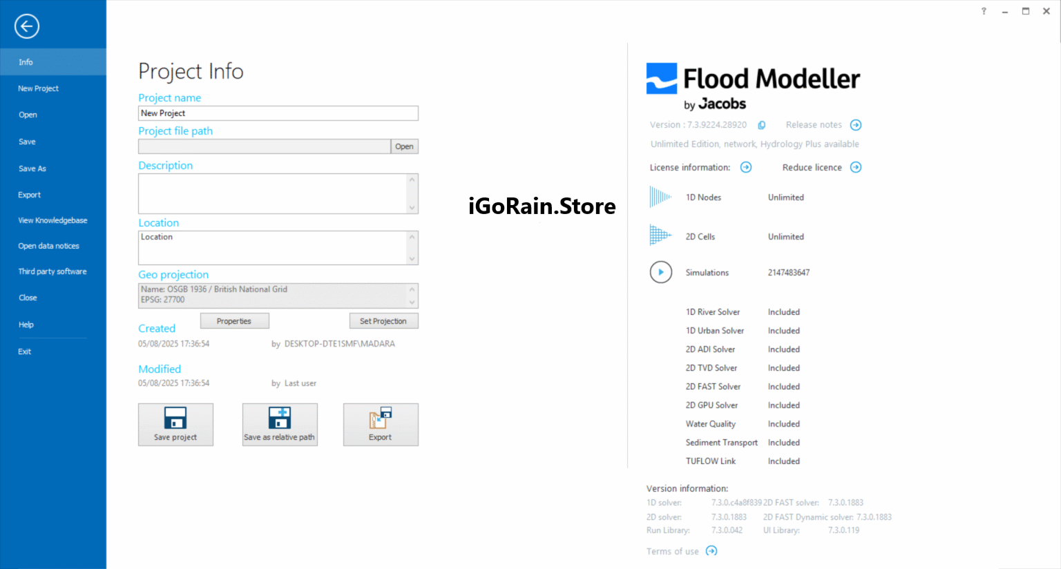
Download Flood Modeller 7.3.9224.28920 Download
Practical Use Cases
Flood Modeller is used across multiple industries where water movement analysis is essential. Its versatility makes it valuable for both government agencies and private engineering firms.
Urban Flood Risk Assessment
Cities facing heavy rainfall and drainage challenges use Flood Modeller to simulate urban flooding scenarios. Engineers can identify:
- Flood-prone zones
- Drainage system bottlenecks
- Infrastructure vulnerability points
This helps in designing smarter urban drainage systems and flood defense strategies.
River Basin Management
Water authorities use the software to study entire river catchments. It assists in:
- River flow regulation
- Sediment transport analysis
- Floodplain mapping
- Reservoir impact evaluation
Infrastructure Development Projects
Before constructing bridges, highways, or residential areas, engineers use Flood Modeller to evaluate water impact on proposed designs. This reduces long-term structural risks and maintenance costs.
Coastal Flood Protection Planning
In coastal regions, the software helps simulate storm surges, tidal effects, and sea-level rise scenarios. This supports the development of seawalls, barriers, and flood defense systems.
Emergency Flood Forecasting
Authorities can use real-time data integration to predict flood events and issue early warnings, improving disaster response efficiency.
Performance Analysis
Flood Modeller is recognized for its strong computational performance and engineering accuracy. It is designed to handle both small-scale drainage systems and large-scale river basin simulations.
Accuracy and Reliability
The software uses scientifically validated hydraulic equations, ensuring accurate simulation results that align with real-world observations. This makes it suitable for professional engineering reports and government-level studies.
Speed and Efficiency
While complex 2D simulations can be computationally heavy, Flood Modeller is optimized to handle large datasets efficiently. Performance improves significantly with high-end hardware configurations.
Scalability
One of its strongest advantages is scalability. Users can start with simple models and gradually expand to more complex coupled systems without switching platforms.
Learning Curve
Flood Modeller has a moderate learning curve. Beginners in hydraulic modelling may require training, but the interface is structured logically for professional use.
Pros and Cons
Pros
- Highly accurate hydraulic and hydrological modelling
- Supports integrated 1D and 2D simulations
- Strong GIS and terrain data compatibility
- Suitable for both urban and river flood analysis
- Reliable for professional engineering and research use
- Advanced visualization and scenario testing tools
Cons
- Requires technical expertise in hydrology or engineering
- High system requirements for large simulations
- Licensing cost may be high for small organizations
- Learning curve can be challenging for beginners
Pricing and Plans
Flood Modeller is typically offered through commercial licensing models, often tailored to organizational needs.
Common licensing structures include:
- Individual engineering licenses for professionals
- Enterprise-level packages for consulting firms
- Academic licenses for research and educational institutions
- Modular add-ons for advanced simulation capabilities
Pricing generally depends on:
- Number of users
- Required modelling modules
- Level of simulation complexity
- Support and maintenance plans
Since it is a professional-grade engineering tool, pricing is usually customized rather than fixed, especially for large-scale deployments.
Real-World User Experience and Industry Value
Professionals in civil engineering and water resource management often highlight Flood Modeller’s reliability in delivering realistic simulation outputs. In large-scale infrastructure projects, it is commonly used during the design validation stage to ensure flood resilience.
Many consultants appreciate its ability to integrate multiple datasets into a single modeling environment, reducing the need for separate tools. The combination of hydrology and hydraulic simulation in one platform significantly improves workflow efficiency.
From an engineering perspective, the software provides confidence in decision-making by offering data-backed insights into flood behavior under different environmental conditions.
Final Verdict
Flood Modeller stands out as a powerful and reliable solution for hydraulic and flood risk analysis. It is designed for professionals who require high precision, advanced modelling capabilities, and detailed environmental simulations. While it may not be ideal for beginners or non-technical users, it delivers exceptional value for engineers, consultants, and government agencies working in water management and infrastructure planning.
Its ability to combine 1D and 2D modelling, integrate GIS data, and simulate complex flood scenarios makes it a leading choice in the hydrological software domain.
For organizations focused on building climate-resilient infrastructure and improving flood preparedness strategies, Flood Modeller offers a strong analytical foundation that supports informed, data-driven decisions.


Reviews
There are no reviews yet.