Description
Opencartis Spatial Manager for BricsCAD Professional Review – The Complete GIS Mapping Solution for CAD Professionals
Opencartis Spatial Manager for BricsCAD Professional Review
Working with geographic information inside CAD software has traditionally required multiple applications, complicated workflows, and constant file conversions. Opencartis Spatial Manager for BricsCAD Professional changes that experience by bringing powerful GIS capabilities directly into BricsCAD. Instead of switching between mapping software and CAD platforms, engineers, architects, surveyors, urban planners, and GIS professionals can manage, edit, analyze, and visualize spatial information from one environment.
Whether you’re handling infrastructure projects, land development, transportation planning, environmental analysis, or utility mapping, this professional extension simplifies complex spatial workflows while improving accuracy and productivity.
In this review, we’ll explore the key features, practical applications, advantages, limitations, performance, pricing considerations, and overall value of Opencartis Spatial Manager for BricsCAD Professional to help you decide whether it’s the right GIS-CAD integration solution for your projects.
Introduction
Modern engineering and construction projects increasingly depend on geographic information systems (GIS). From planning highways and utility networks to designing smart cities, professionals need accurate geographic data integrated with CAD drawings.
The challenge is that GIS data often exists in formats that traditional CAD software cannot easily process. Converting files between platforms wastes time and increases the risk of data loss or formatting errors.
Opencartis Spatial Manager for BricsCAD Professional addresses this challenge by extending BricsCAD with advanced GIS capabilities. It enables users to import, export, edit, transform, manage, and analyze spatial data without leaving their familiar CAD workspace.
For organizations handling large-scale mapping projects or geographically referenced engineering drawings, this integration can significantly improve project efficiency.
Key Features
Extensive GIS Data Support
One of the strongest advantages of Opencartis Spatial Manager for BricsCAD Professional is its broad compatibility with GIS formats.
Supported data sources typically include:
- SHP (Shapefile)
- KML and KMZ
- GeoJSON
- GPX
- CSV with coordinates
- SQLite
- Spatial databases
- WMS and WMTS map services
- Various raster formats
This wide compatibility reduces conversion work while preserving valuable geographic information.
Direct GIS Import into BricsCAD
Instead of manually recreating mapping information, users can directly import GIS layers into BricsCAD.
Imported objects maintain useful information including:
- Geometry
- Attributes
- Coordinate systems
- Feature properties
This creates a smooth transition between GIS datasets and CAD drawings.
Coordinate System Management
Projects often involve data collected from multiple coordinate systems.
Spatial Manager Professional includes tools for:
- Coordinate reference system selection
- Automatic transformations
- Projection management
- Accurate geolocation
- Geographic alignment
These features help eliminate positioning errors that can occur when combining multiple datasets.
Background Online Maps
Visualization becomes much easier with online map support.
Users can display:
- Satellite imagery
- Street maps
- Terrain maps
- Geographic references
This allows designers to verify project locations before beginning detailed CAD work.
Attribute Data Management
Spatial information contains more than geometry.
Each object may include valuable information such as:
- Owner details
- Parcel numbers
- Utility IDs
- Material specifications
- Asset information
- Inspection records
Users can edit and manage these attributes directly inside BricsCAD.
Spatial Queries
Finding specific geographic features becomes much faster using built-in spatial queries.
Users can search by:
- Layer
- Attribute values
- Geographic location
- Distance
- Object type
- Selection filters
Large GIS datasets become much easier to organize and analyze.
Data Export Options
Completed drawings can be exported back into GIS-compatible formats.
This helps maintain collaboration between CAD teams and GIS departments while preserving geographic intelligence.
Practical Use Cases
Civil Engineering Projects
Civil engineers frequently work with roads, drainage systems, utilities, and infrastructure.
Spatial Manager allows them to:
- Import survey data
- Analyze terrain information
- Align infrastructure with geographic coordinates
- Export finished designs for GIS systems
The result is faster planning with fewer positioning mistakes.
Urban Planning
City planners rely on geographic information for zoning, transportation, utilities, and land management.
Using Opencartis Spatial Manager for BricsCAD Professional, planners can:
- Overlay zoning maps
- Visualize property boundaries
- Analyze development areas
- Coordinate public infrastructure
This creates a much more informed planning process.
Surveying
Surveyors regularly receive GPS and GIS datasets from field equipment.
Instead of converting files through multiple applications, they can import geographic survey data directly into BricsCAD for drafting and verification.
Utility Network Management
Electricity, water, telecommunications, and gas providers manage thousands of geographically referenced assets.
Spatial Manager helps professionals:
- Update utility layouts
- Verify asset locations
- Maintain geographic accuracy
- Synchronize CAD drawings with GIS databases
Environmental Analysis
Environmental consultants often combine satellite imagery, terrain information, protected areas, and engineering drawings.
The software simplifies these workflows by bringing multiple data sources into one CAD environment.
Performance Analysis
One of the most impressive aspects of Opencartis Spatial Manager for BricsCAD Professional is its ability to manage complex geographic datasets while remaining responsive.
Import operations are generally efficient, even when handling large GIS layers. Coordinate transformations are accurate and require minimal manual adjustment.
The interface integrates naturally with BricsCAD, reducing the learning curve for existing users.
Performance benefits include:
- Faster GIS imports
- Reliable coordinate transformations
- Reduced software switching
- Improved mapping accuracy
- Better project organization
Large infrastructure projects especially benefit from the streamlined workflow.
User Experience
Professionals appreciate software that enhances productivity without disrupting established workflows.
Instead of learning an entirely new GIS platform, users continue working inside BricsCAD while gaining advanced mapping functionality.
Common feedback from professionals highlights:
- Easy integration with BricsCAD
- Time-saving import tools
- Accurate geographic positioning
- Reliable GIS compatibility
- Professional mapping capabilities
For organizations already invested in BricsCAD, this creates a comfortable and productive working environment.
Benefits of Using Opencartis Spatial Manager for BricsCAD Professional
Organizations using this solution often experience measurable workflow improvements.
Major benefits include:
- Reduced GIS conversion work
- Improved collaboration between CAD and GIS teams
- Greater geographic accuracy
- Support for multiple coordinate systems
- Faster project completion
- Better management of spatial information
- Improved data consistency
- Simplified asset management
- Professional mapping inside CAD
These advantages make it particularly valuable for engineering firms handling geographically referenced projects.
Pros and Cons
Pros
- Excellent GIS integration with BricsCAD
- Wide support for spatial file formats
- Powerful coordinate system management
- Easy GIS data import and export
- Attribute editing capabilities
- Background online map support
- Professional-grade workflow
- Suitable for large engineering projects
- Reduces manual data conversion
- Improves project accuracy
Cons
- Designed primarily for BricsCAD users
- Advanced GIS tools may require some learning for beginners
- Professional licensing may represent a significant investment for small organizations
- Some advanced workflows depend on project complexity and available GIS datasets
Pricing & Plans
Opencartis Spatial Manager for BricsCAD Professional is generally offered as a commercial software solution with licensing options that may vary depending on business requirements, version, and regional availability.
Organizations considering deployment should evaluate:
- License type
- Number of users
- Version compatibility
- Maintenance options
- Upgrade availability
For engineering companies regularly handling GIS-integrated CAD projects, the productivity improvements can provide strong long-term value.
Old Released is also available:
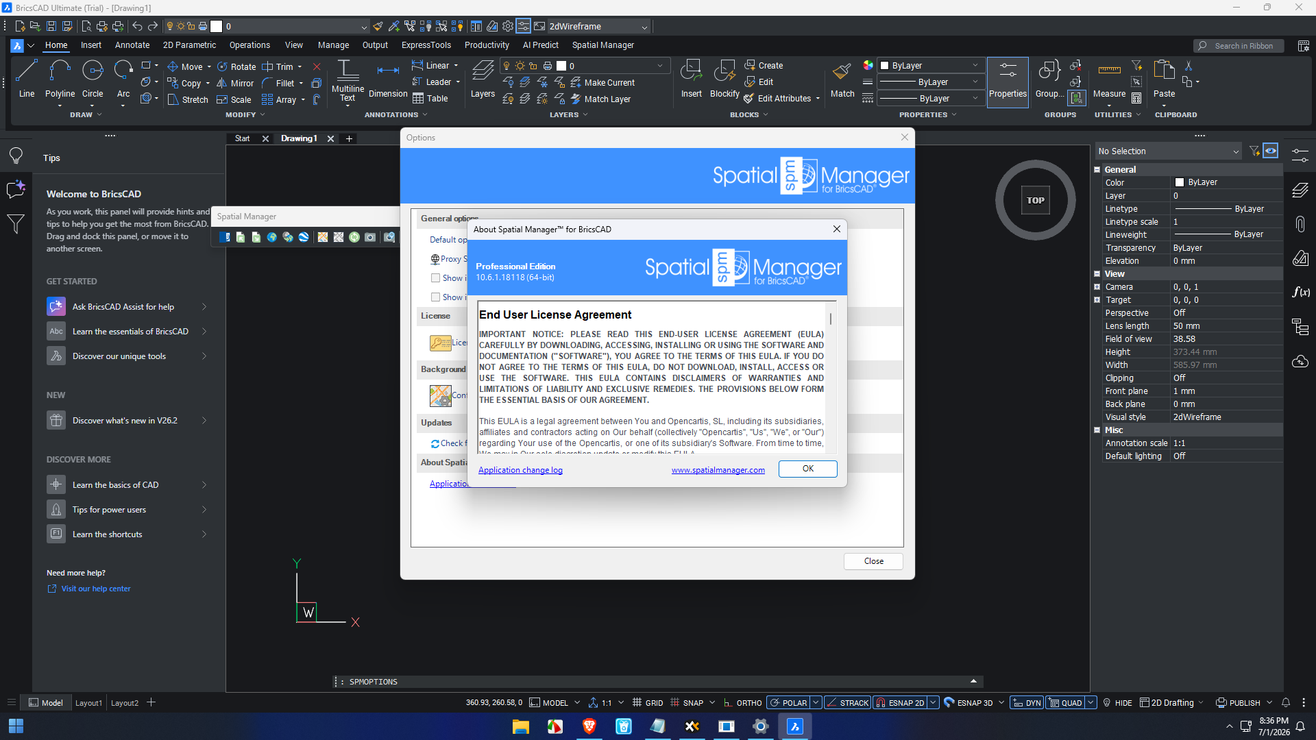
Opencartis Spatial Manager for BricsCAD Professional 10.6.1 Build 18118
Why Choose Opencartis Spatial Manager for BricsCAD Professional?
Compared with traditional CAD workflows, this solution eliminates many repetitive GIS tasks.
It is particularly well suited for:
- Civil engineering firms
- Survey companies
- Urban planning departments
- Utility providers
- Environmental consultants
- Transportation engineers
- Infrastructure designers
- Government mapping agencies
The ability to combine GIS intelligence with professional CAD drafting creates a more efficient design process.
Opencartis Spatial Manager for GstarCAD Professional Developer
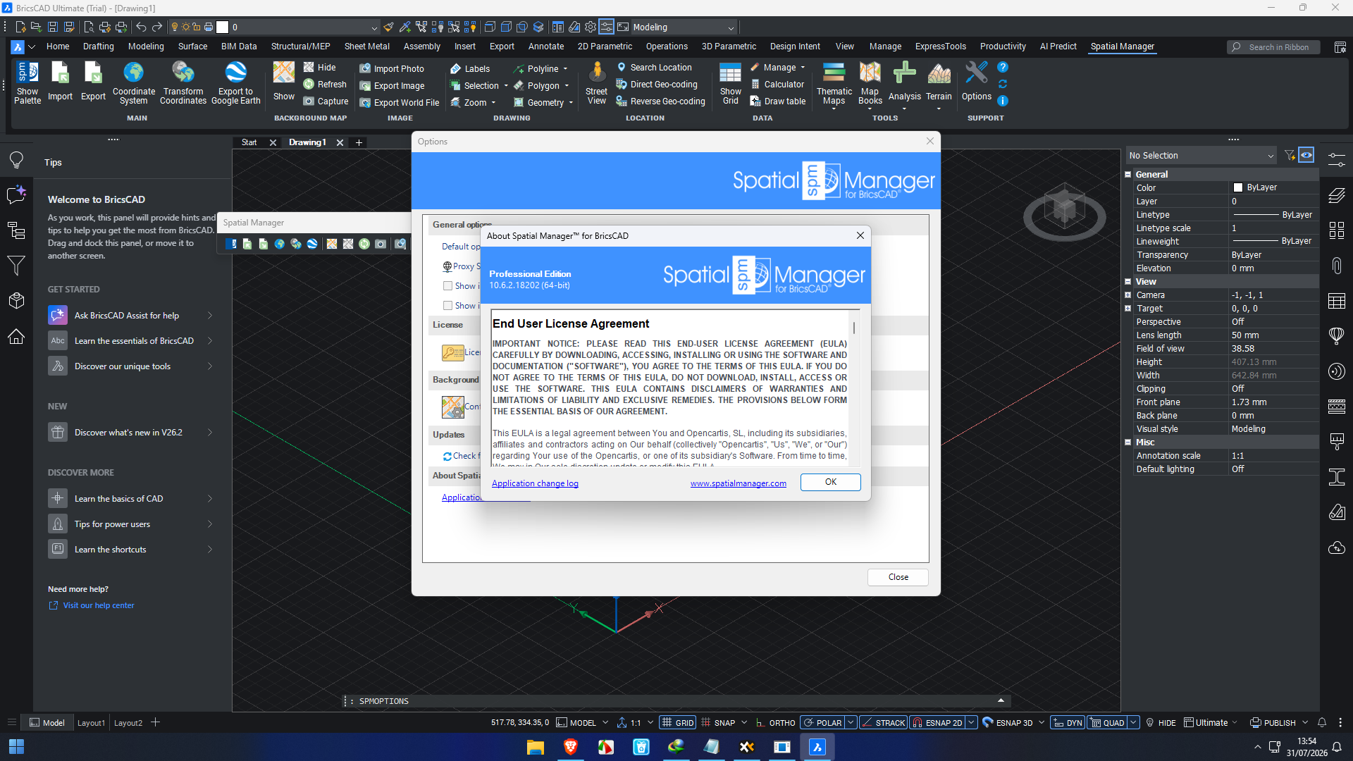
Opencartis Spatial Manager for BricsCAD Professional 10.6.2 Build 18202
Final Verdict
Opencartis Spatial Manager for BricsCAD Professional stands out as one of the most capable GIS integration solutions available for BricsCAD users. It bridges the gap between CAD drafting and geographic information systems by allowing professionals to import, manage, analyze, and export spatial data without relying on separate GIS applications.
Its extensive format support, reliable coordinate management, attribute editing tools, and seamless BricsCAD integration make it an excellent choice for civil engineering, surveying, urban planning, environmental consulting, and infrastructure design.
While the software is aimed primarily at professional users and organizations with GIS-driven workflows, the productivity gains, improved collaboration, and enhanced geographic accuracy often justify the investment.
If your projects depend on precise mapping, geographic intelligence, and efficient CAD workflows, Opencartis Spatial Manager for BricsCAD Professional is a powerful solution worth exploring. Integrating it into your design process can help reduce manual work, improve data consistency, and deliver more accurate, efficient, and professional project outcomes.



Reviews
There are no reviews yet.