Description
Opencartis Spatial Manager for GstarCAD Professional Review – The Complete GIS and CAD Integration Solution for Professionals
Opencartis Spatial Manager for GstarCAD Professional: A Smart Choice for GIS-Driven CAD Workflows
Managing geospatial information inside a CAD environment can often become time-consuming, especially when dealing with multiple coordinate systems, GIS databases, and large mapping projects. Opencartis Spatial Manager for GstarCAD Professional bridges the gap between CAD drafting and GIS data management by bringing advanced spatial tools directly into GstarCAD Professional.
Whether you’re a civil engineer, surveyor, GIS analyst, urban planner, or infrastructure consultant, this powerful extension simplifies importing, exporting, editing, analyzing, and managing spatial data without constantly switching between different software platforms. Instead of relying on separate GIS applications, professionals can perform complex geospatial tasks within their familiar CAD workspace.
In this review, we’ll explore its features, real-world applications, performance, advantages, limitations, pricing information, and why it has become an essential productivity tool for GIS-enabled CAD projects.
Introduction
Modern engineering and mapping projects rely heavily on accurate geographic information. Roads, utilities, environmental planning, transportation networks, municipalities, and construction projects all depend on reliable spatial data.
Traditional CAD software focuses primarily on drafting and design, while GIS software specializes in handling geographic information. Moving files back and forth between these platforms often creates unnecessary delays and compatibility issues.
Opencartis Spatial Manager for GstarCAD Professional solves this problem by integrating professional GIS functionality directly inside GstarCAD Professional. Users can connect to spatial databases, manage coordinate systems, perform thematic analysis, and work with GIS files without leaving the CAD environment.
This seamless integration improves productivity while reducing errors commonly associated with data conversion.
Key Features of Opencartis Spatial Manager for GstarCAD Professional
Comprehensive GIS Data Import
The software supports importing data from numerous GIS formats, including:
- Shapefiles (SHP)
- GeoJSON
- KML
- KMZ
- GML
- CSV with coordinates
- DXF
- DGN
- GPX
- Spatial databases
Users can quickly bring geographic datasets into GstarCAD while maintaining data accuracy.
Advanced Export Options
Completed CAD drawings can be exported into multiple GIS formats for use by:
- Government agencies
- Survey departments
- Environmental consultants
- GIS specialists
- Infrastructure organizations
This greatly improves project collaboration.
Coordinate System Management
One of the strongest features is its built-in coordinate reference system support.
Professionals can:
- Transform coordinates
- Assign projection systems
- Reproject maps
- Maintain geospatial accuracy
- Avoid manual coordinate conversions
This is especially valuable for large engineering and surveying projects.
Spatial Database Connectivity
The Professional edition supports direct connections with spatial databases, allowing users to work with live geographic information.
Supported database environments typically include:
- PostGIS
- SQL Server Spatial
- Oracle Spatial
- SQLite
- Other OGC-compliant databases
Instead of importing static files, teams can access updated spatial information in real time.
Attribute Data Management
Every geographic object contains useful information beyond its geometry.
Spatial Manager enables users to:
- Edit attributes
- Filter records
- Sort information
- Search features
- Modify tables
- Link CAD entities with GIS attributes
This improves data organization significantly.
Thematic Mapping
Visualizing geographic information becomes much easier through thematic maps.
Users can display information using:
- Colors
- Categories
- Value ranges
- Labels
- Symbols
This helps identify trends within complex datasets.
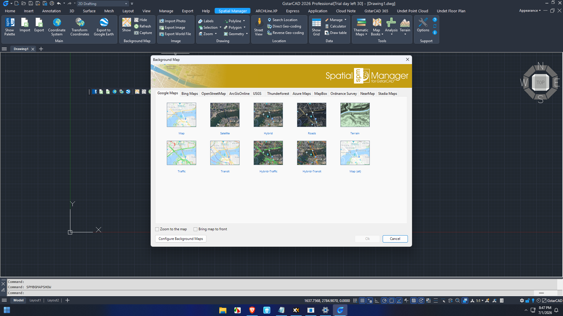
Map Background Services
The software allows users to display online map backgrounds directly inside GstarCAD.
Examples include:
- Street maps
- Satellite imagery
- Terrain maps
- Hybrid maps
These references improve drawing accuracy during planning and design.
Powerful Data Query Tools
Finding specific geographic objects is straightforward.
Users can search using:
- Attribute values
- Object types
- Coordinates
- Geographic locations
- Custom filters
Large GIS datasets become much easier to manage.
Practical Use Cases
Civil Engineering Projects
Civil engineers frequently work with:
- Road alignments
- Drainage systems
- Utility networks
- Transportation corridors
Spatial Manager helps integrate GIS information directly into CAD drawings, reducing project preparation time.
Land Surveying
Surveyors often receive GPS coordinate files from field equipment.
Instead of manually entering coordinates, they can import survey data directly into GstarCAD while maintaining projection accuracy.
Urban Planning
Municipal planning departments manage extensive geographic information.
Using Spatial Manager allows planners to combine:
- Parcel boundaries
- Zoning maps
- Road networks
- Utility infrastructure
- Public facilities
within one CAD environment.
Environmental Consulting
Environmental professionals frequently analyze:
- Rivers
- Wetlands
- Protected areas
- Flood zones
- Vegetation
GIS layers can be imported and referenced while preparing engineering drawings.
Utility Infrastructure
Electricity, gas, telecommunications, and water utilities depend on accurate geographic data.
Spatial Manager enables engineers to visualize underground infrastructure alongside CAD designs, improving maintenance planning and reducing design conflicts.
Architecture and Site Development
Architects working on large developments benefit from integrating:
- Topographic maps
- Property boundaries
- Satellite imagery
- Existing infrastructure
before beginning detailed building designs.
Performance Analysis
One of the standout strengths of Opencartis Spatial Manager for GstarCAD Professional is its excellent balance between functionality and usability.
Even when handling large GIS datasets, the software remains responsive and stable. Spatial indexing and optimized data handling reduce delays when zooming, filtering, or editing complex projects.
Importing thousands of geographic objects typically requires only a few clicks, while attribute management tools remain intuitive even for users with limited GIS experience.
Coordinate transformations are processed accurately, helping eliminate errors that can arise from manual conversions.
Because all GIS operations occur within GstarCAD Professional, users also save considerable time by avoiding repeated software switching.
For organizations managing frequent CAD-GIS collaboration, these workflow improvements translate into meaningful productivity gains.
User Experience
Many engineering professionals appreciate how naturally Spatial Manager integrates into GstarCAD.
Instead of learning an entirely new GIS platform, users continue working inside familiar CAD menus while gaining access to advanced geospatial capabilities.
Project managers often report improvements in:
- Team collaboration
- Data consistency
- Mapping accuracy
- Faster project delivery
- Reduced data duplication
Survey teams also benefit from simplified coordinate management and direct GIS compatibility.
Pros & Cons
Pros
- Excellent GIS integration inside GstarCAD Professional
- Supports numerous GIS file formats
- Reliable coordinate system transformation
- Direct spatial database connectivity
- Easy import and export workflows
- Strong attribute management tools
- Thematic mapping capabilities
- User-friendly interface
- Saves time by reducing software switching
- Suitable for engineering, surveying, and planning professionals
Cons
- Advanced GIS features may require some learning for beginners
- Professional edition may include more functionality than occasional CAD users require
- Best suited for users already working with GIS-based projects
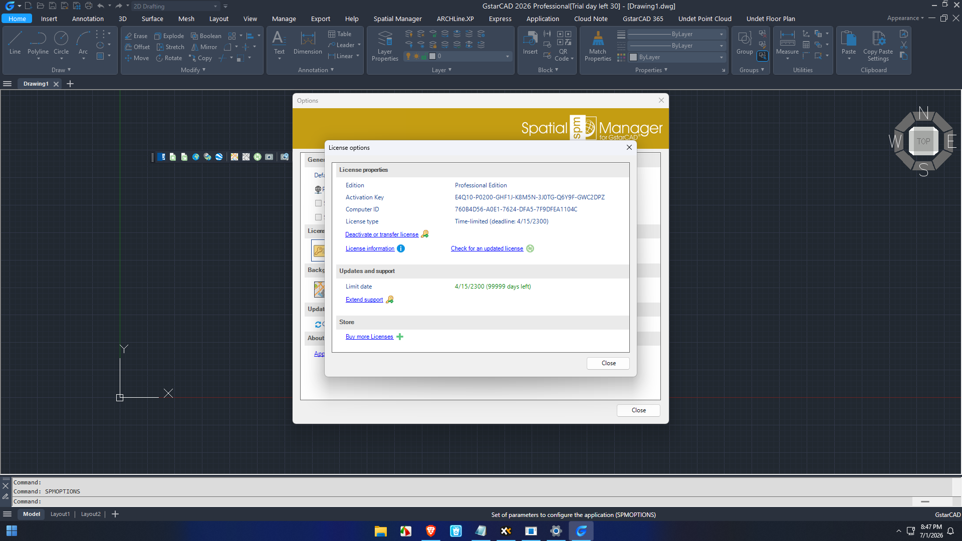
Pricing & Plans
Opencartis offers multiple licensing options depending on business requirements.
Pricing generally varies according to:
- License type
- Number of users
- Subscription or perpetual licensing
- Software version
- Maintenance and support options
Organizations should evaluate their project scale and workflow requirements to determine the most suitable licensing plan.
Considering the extensive GIS capabilities included, many professionals view it as a worthwhile investment for improving long-term productivity and reducing manual data processing.
Why Professionals Choose Opencartis Spatial Manager for GstarCAD Professional
Several factors make this software a preferred solution among GIS-enabled CAD users:
- Combines CAD drafting with advanced GIS tools
- Eliminates repetitive data conversion processes
- Supports industry-standard spatial formats
- Enhances mapping accuracy
- Simplifies infrastructure planning
- Improves collaboration between GIS and CAD teams
- Reduces project turnaround time
- Offers scalable functionality for organizations of all sizes
Its flexibility makes it valuable across industries including transportation, surveying, municipal planning, environmental engineering, architecture.
Final Verdict
Opencartis Spatial Manager for GstarCAD Professional successfully transforms GstarCAD into a comprehensive GIS-enabled design platform. By combining advanced spatial data management, coordinate transformation, database connectivity, thematic mapping, and extensive GIS format support, it delivers a highly efficient solution for professionals who work with both CAD and geographic information.
Its intuitive interface, reliable performance, and robust feature set make it an excellent choice for civil engineers, surveyors, urban planners, environmental consultants, utility designers, and infrastructure professionals. Rather than juggling multiple applications, teams can streamline their workflows within a single environment while maintaining high levels of data accuracy and project efficiency.
If your projects depend on seamless CAD and GIS integration, Opencartis Spatial Manager for GstarCAD Professional is a dependable investment that can simplify complex spatial workflows, improve collaboration, and enhance overall productivity. Explore its capabilities to determine how it can optimize your next geospatial design project.



Reviews
There are no reviews yet.