Description
Opencartis Spatial Manager for ZWCAD Professional Review – Advanced GIS and CAD Integration for Modern Design Workflows
Working with geographic information inside CAD software has traditionally been a time-consuming process. Engineers, surveyors, GIS professionals, urban planners, and infrastructure designers often rely on multiple applications just to import, edit, analyze, and export spatial data. Opencartis Spatial Manager for ZWCAD Professional changes that workflow by bringing powerful GIS capabilities directly into ZWCAD Professional.
Whether you’re handling shapefiles, coordinate systems, map services, or large geospatial datasets, this professional extension streamlines the entire process without forcing users to switch between different software platforms. It combines intelligent spatial data management, coordinate transformation, thematic mapping, and attribute editing into one efficient environment.
If your projects involve both CAD drawings and GIS information, Opencartis Spatial Manager for ZWCAD Professional offers a practical solution that improves productivity, minimizes errors, and simplifies complex spatial workflows.
Introduction
Today’s engineering and infrastructure projects rely heavily on accurate geographic information. Roads, utility networks, land development, environmental studies, and municipal planning all require seamless interaction between CAD drawings and GIS datasets.
Unfortunately, traditional CAD applications often provide limited GIS functionality. Importing coordinate-based information, converting projections, or working with spatial databases can become difficult without specialized tools.
Opencartis Spatial Manager for ZWCAD Professional fills this gap by providing a complete GIS extension designed specifically for ZWCAD Professional users.
Instead of exporting files between separate GIS and CAD applications, users can directly access, edit, visualize, and manage spatial information inside their familiar CAD workspace. This significantly reduces repetitive tasks while improving overall project accuracy.
Key Features of Opencartis Spatial Manager for ZWCAD Professional
Direct GIS Data Import
The software supports importing numerous spatial data formats, including:
- SHP (Shapefile)
- KML
- KMZ
- GeoJSON
- GPX
- CSV with coordinates
- DXF
- SQLite
- Spatial databases
- Various GIS-compatible formats
Users can import datasets without complicated conversion procedures.
Export CAD Data to GIS Formats
Once CAD drawings are complete, users can export objects into popular GIS formats while preserving:
- Geometry
- Layers
- Attributes
- Coordinate systems
- Metadata
This creates smooth collaboration between GIS analysts and CAD designers.
Coordinate System Management
One of the strongest features is automatic coordinate system handling.
Users can:
- Assign coordinate systems
- Reproject drawings
- Convert between different projections
- Maintain geographic accuracy
This is especially valuable when working on international or government projects.
Map Services Integration
Spatial Manager supports online map services for improved visualization.
Examples include:
- Background maps
- Satellite imagery
- Street maps
- Terrain maps
- Web map services
Designers can compare CAD drawings against real-world geographic information.
Attribute Data Editing
Unlike basic CAD software, Spatial Manager allows editing associated GIS attributes.
Users can:
- View records
- Modify values
- Search attributes
- Filter data
- Organize information
This creates an efficient GIS-CAD hybrid workflow.
Thematic Mapping
Visualizing information becomes much easier through thematic maps.
Examples include:
- Population density
- Utility classifications
- Road categories
- Land parcels
- Environmental zones
Different colors and styles improve project understanding.
Spatial Queries
Users can locate objects based on:
- Distance
- Area
- Coordinates
- Boundaries
- Object relationships
Complex searches become simple without external GIS software.
Table Management
The built-in data tables provide:
- Sorting
- Filtering
- Editing
- Data inspection
- Quick searches
This improves handling of large spatial datasets.
High-Speed Performance
Even projects containing thousands of spatial objects remain responsive thanks to optimized data management.
Practical Use Cases
Civil Engineering Projects
Civil engineers frequently combine survey information with CAD drawings.
Using Spatial Manager, they can:
- Import survey points
- Align road designs
- Analyze land boundaries
- Verify coordinates
This reduces manual drafting work.
Urban Planning
Municipal planning departments often maintain GIS databases.
Spatial Manager enables planners to:
- Import zoning information
- Overlay city maps
- Update infrastructure
- Review development plans
All inside ZWCAD Professional.
Utility Network Design
Electrical, water, gas, and telecommunications projects rely on geographic precision.
The software simplifies:
- Network mapping
- Pipe layouts
- Cable routing
- Asset management
- Infrastructure planning
Surveying
Survey professionals can quickly import field data collected from GPS equipment.
Coordinate transformation tools ensure survey information aligns correctly with engineering drawings.
Environmental Analysis
Environmental consultants often combine CAD designs with ecological datasets.
Examples include:
- Wetlands
- Protected areas
- Rivers
- Forest boundaries
- Environmental zones
Spatial Manager makes overlay analysis much easier.
Land Development
Developers benefit from combining:
- Parcel information
- Property boundaries
- Utility networks
- Topographic data
- Planning regulations
This reduces planning conflicts before construction begins.
Performance Analysis
Performance is one of the biggest strengths of Opencartis Spatial Manager for ZWCAD Professional.
Unlike workflows requiring multiple applications, nearly every GIS operation can be completed within ZWCAD Professional itself.
Fast Data Import
Large shapefiles import efficiently with preserved geometry and attributes.
Stable Coordinate Conversion
Projection transformations remain accurate and dependable, reducing the chance of positioning errors.
Efficient Database Handling
Large GIS datasets remain manageable thanks to optimized indexing and data organization.
Responsive User Interface
Commands integrate naturally with ZWCAD Professional, allowing users to continue working without learning an entirely new software environment.
Reduced Workflow Complexity
By eliminating unnecessary exports and imports, projects move faster while reducing opportunities for data loss.
Real-World User Experience
Imagine a transportation engineer designing a new highway extension.
Instead of separately managing GIS data and CAD drawings, the engineer imports regional road networks, land parcels, elevation data, and environmental boundaries directly into ZWCAD Professional.
During design:
- Existing roads appear immediately.
- Property boundaries remain accurate.
- Coordinate systems stay synchronized.
- GIS attributes remain editable.
- Final plans export cleanly for government agencies.
The entire design cycle becomes shorter and significantly more reliable.
This type of integrated workflow represents the primary reason many professionals choose Spatial Manager.
Benefits for Professionals
Professionals working with geographic data gain several important advantages.
Increased Productivity
Less time is spent converting files between different applications.
Improved Accuracy
Coordinate system management reduces alignment mistakes.
Better Collaboration
GIS teams and CAD designers exchange compatible files more easily.
Lower Learning Curve
Existing ZWCAD users can quickly adopt Spatial Manager without extensive retraining.
Simplified Data Management
Spatial information remains organized throughout the entire project lifecycle.
Pros and Cons
Pros
- Excellent integration with ZWCAD Professional
- Supports numerous GIS formats
- Powerful coordinate transformation tools
- Easy import and export workflows
- Built-in thematic mapping
- Attribute editing capabilities
- Reliable performance with large datasets
- Professional GIS functions inside CAD
- User-friendly interface
- Saves considerable project time
Cons
- Requires familiarity with GIS concepts to maximize advanced features
- Some enterprise-level workflows may require additional GIS software
- Pricing may be higher than basic CAD extensions
Pricing & Plans
Opencartis typically offers commercial licensing options designed for professional users, engineering firms, surveying companies, and government organizations.
Licensing options may include:
- Single-user licenses
- Business licenses
- Network licenses
- Upgrade plans
- Maintenance options
Pricing varies depending on the license type, software version, and support requirements. Businesses should review the latest licensing information before purchasing to ensure the chosen plan matches their operational needs.
Old Released is also available:
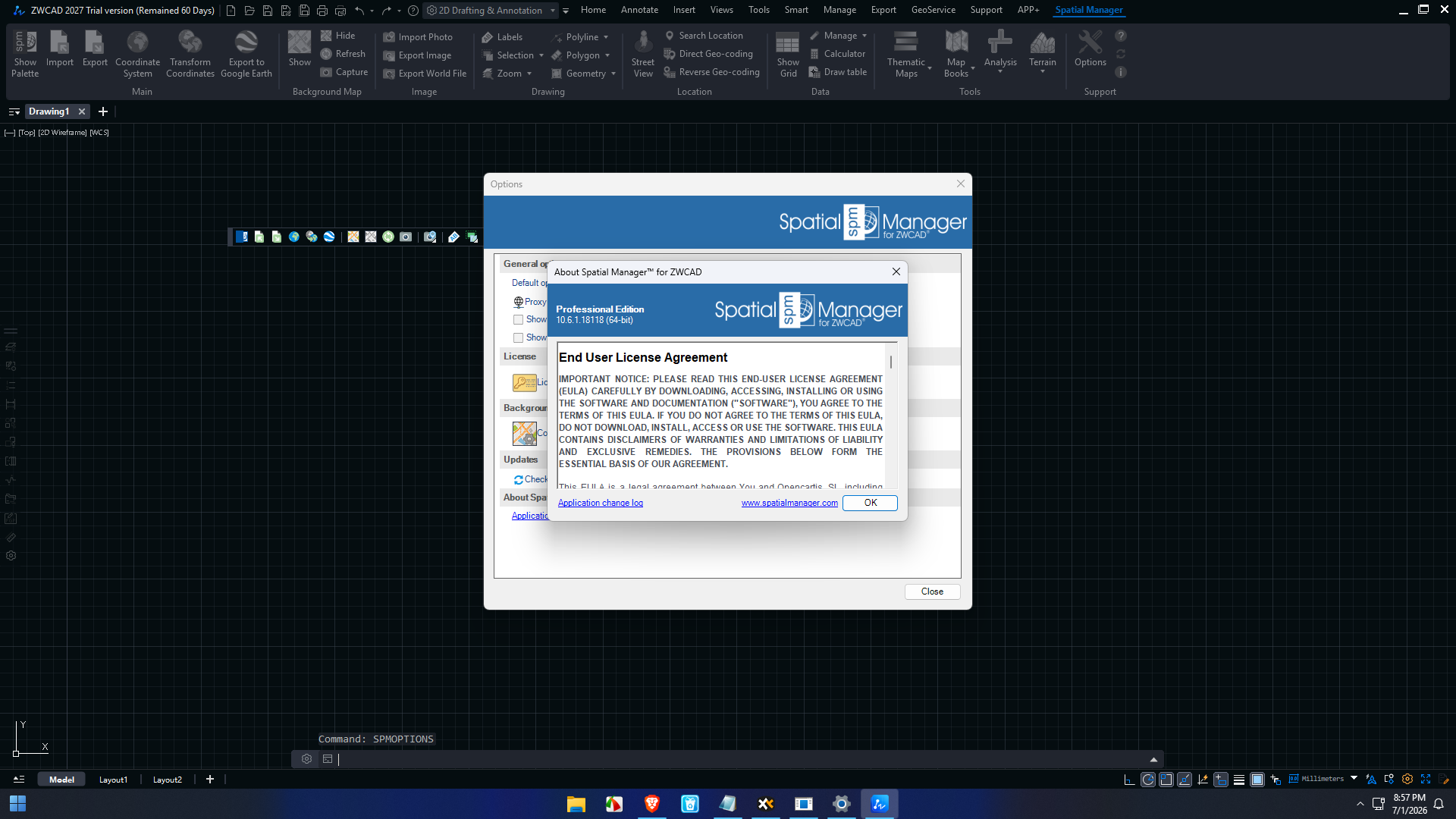
Opencartis Spatial Manager for ZWCAD Professional 10.6.1 Build 18118
Why Choose Opencartis Spatial Manager for ZWCAD Professional?
Many CAD professionals eventually encounter GIS data.
Without specialized tools, common tasks become unnecessarily difficult:
- Coordinate conversion
- Shapefile imports
- GIS attribute editing
- Online map integration
- Spatial analysis
- Data exports
Spatial Manager solves these challenges within a single environment.
Rather than replacing ZWCAD Professional, it enhances it with robust GIS functionality, making it a valuable investment for organizations that regularly work with geographic information.
Opencartis Spatial Manager for ZWCAD Professional Developer
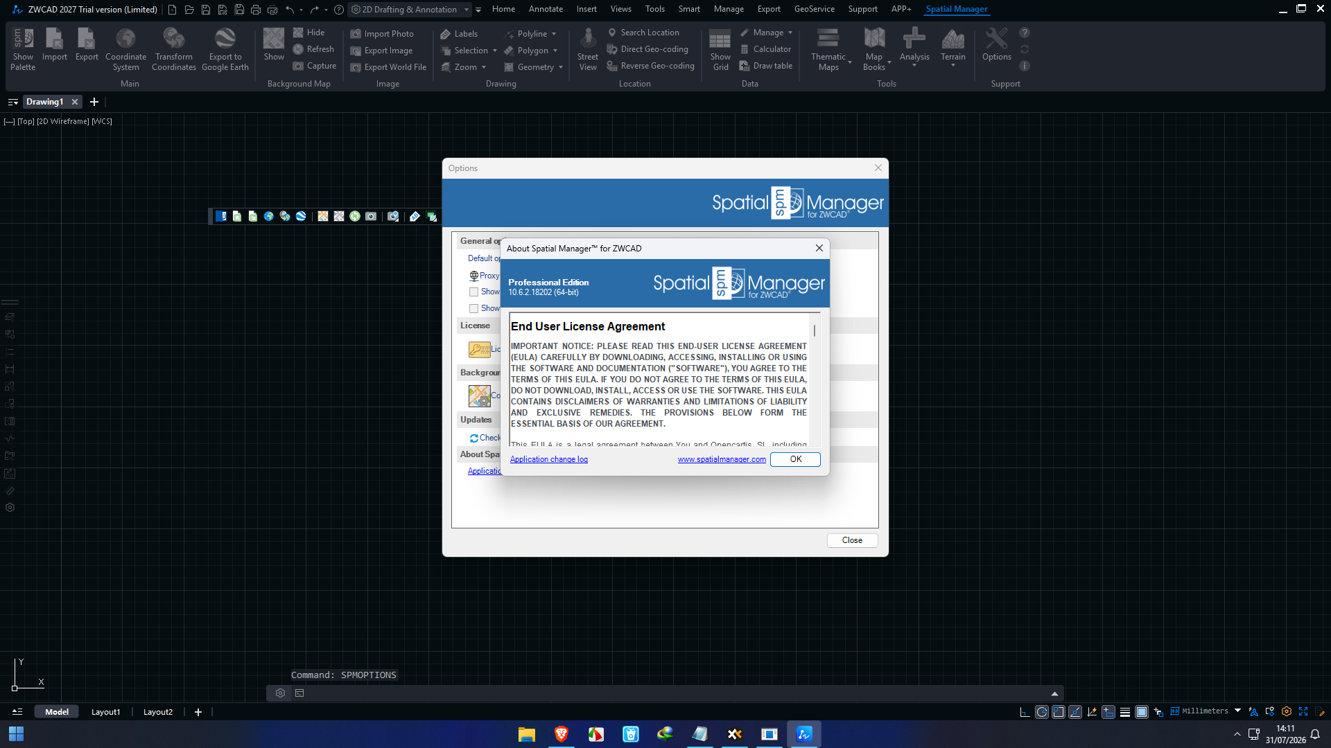
Opencartis Spatial Manager for ZWCAD Professional 10.6.2 Build 18202
Final Verdict
Opencartis Spatial Manager for ZWCAD Professional is an outstanding productivity tool for professionals who need advanced GIS functionality without leaving the ZWCAD environment. Its seamless integration, broad support for spatial data formats, accurate coordinate system management, and efficient import/export capabilities make it a practical choice for engineers, surveyors, architects, planners, and GIS specialists.
By reducing manual data conversion, improving collaboration between CAD and GIS teams, and enabling accurate spatial analysis within a familiar workspace, the software helps organizations complete projects more efficiently while maintaining high levels of precision. Whether you’re managing infrastructure, urban planning, environmental studies, or land development, Opencartis Spatial Manager for ZWCAD Professional delivers the tools needed to streamline complex geospatial workflows.



Reviews
There are no reviews yet.