Description
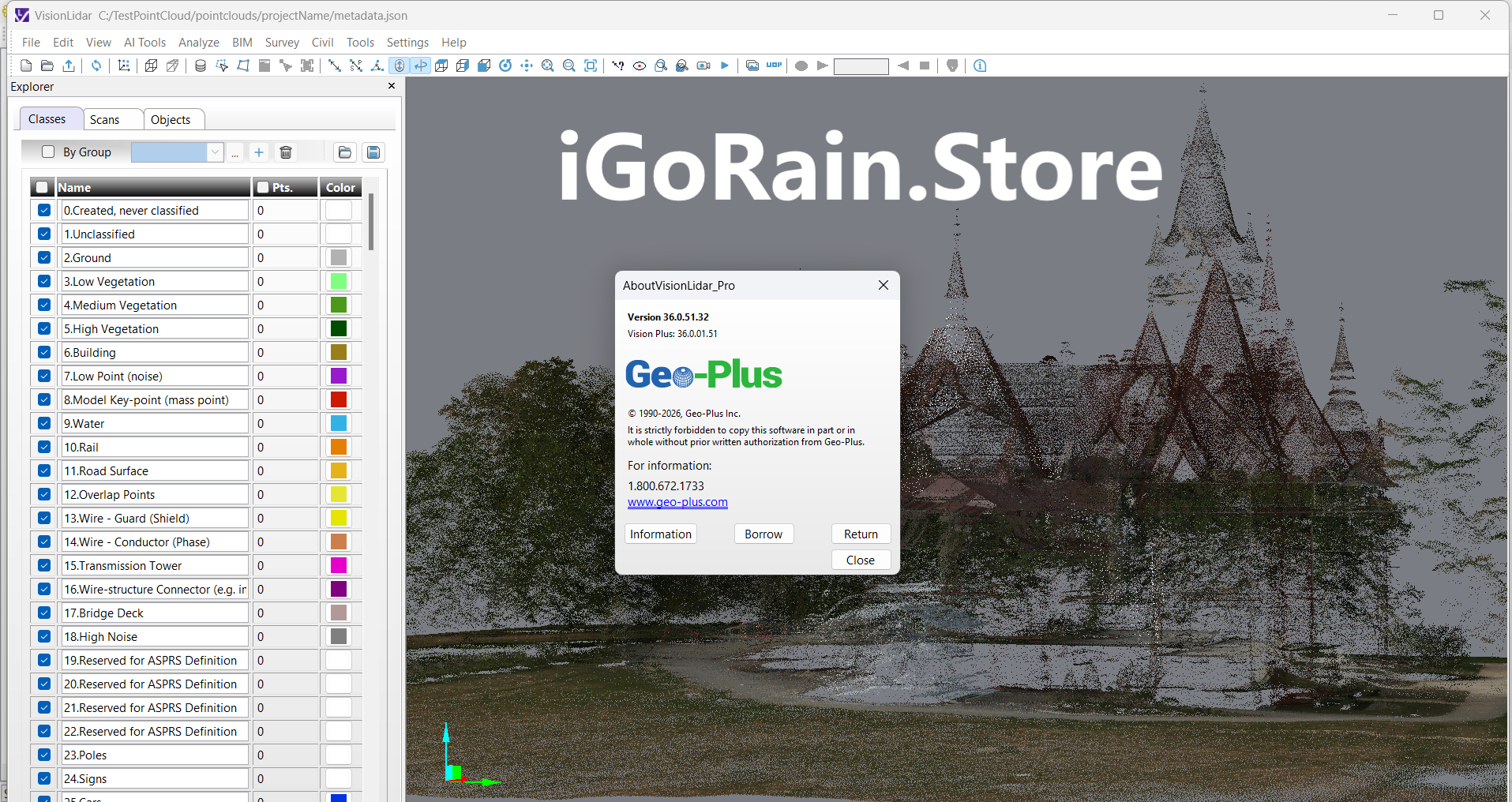
VisionLidar Pro 36.0.51.32
VisionLidar Pro Software Review – The Complete Expert Breakdown for Geospatial Professionals
VisionLidar Pro has become one of the most in-demand LiDAR processing platforms for engineers, surveyors, GIS specialists, and 3D modeling experts. With its advanced point-cloud management engine, high-accuracy analysis tools, and powerful inspection capabilities, it delivers a professional-grade environment for turning raw spatial data into precise, actionable results.
In this detailed review, we explore VisionLidar Pro from every angle—its top features, industry use cases, performance insights, strengths and limitations, pricing, and final recommendations. Whether you’re evaluating a new LiDAR software suite or upgrading from conventional modeling tools, this expert-friendly review will help you determine if VisionLidar Pro is the right solution for your workflow.
VisionLidar Pro 36.0.51.32
Introduction: What Is VisionLidar Pro?
VisionLidar Pro is a professional 3D LiDAR data processing platform designed for high-precision mapping, surveying, modeling, and inspection. At its core, the software specializes in handling massive point-cloud datasets, transforming them into structured models and spatial insights that professionals can use for planning, analysis, and decision-making.
The platform serves as a comprehensive ecosystem for:
-
Point-cloud classification
-
Data cleanup and registration
-
Object detection
-
Terrain modeling
-
3D reconstruction
-
Topographic analysis
-
Infrastructure inspection
Unlike basic visualization tools, VisionLidar Pro focuses heavily on automation and accuracy. It helps teams reduce manual processing time, improve deliverable quality, and manage complex LiDAR datasets collected from drones, mobile mapping units, terrestrial scanners, or airborne survey missions.
Its clean interface, stable processing engine, and compatibility with industry standards make it a valuable solution for survey firms, construction teams, civil engineers, and geospatial professionals who rely on precise field-to-finish workflows.
Key Features of VisionLidar Pro
VisionLidar Pro offers a rich set of capabilities designed to support professional-grade LiDAR data processing. Below are the standout features that define its value.
1. Advanced Point-Cloud Classification
The software includes automated and manual classification workflows, allowing users to separate ground, vegetation, buildings, utilities, and structural elements with high precision. This classification is essential for civil engineering, topography, and environmental analysis.
2. High-Speed Point-Cloud Rendering
Its optimized 3D engine can display billions of points without lag, making it ideal for large-scale mapping projects such as corridors, cityscapes, and industrial facilities.
3. Automatic Object Detection
VisionLidar Pro includes AI-assisted recognition tools that detect poles, road signs, powerlines, surfaces, and other structural elements—significantly reducing manual editing time.
4. Precise Registration and Alignment
Users can align multiple scans from different LiDAR sensors or scanning sessions. The software includes:
-
Cloud-to-cloud registration
-
Target-based registration
-
Multi-scan optimization tools
These tools ensure dataset consistency and centimeter-level accuracy.
5. Contour Generation and Terrain Modeling
The platform allows users to create DTM (Digital Terrain Models), DSM (Digital Surface Models), and breaklines. Its elevation tools support hydrological analysis, slope mapping, and land development planning.
6. Feature Extraction Tools
Surveyors can extract essential geometric elements including:
-
Lines
-
Polylines
-
Surfaces
-
Cross-sections
-
Profiles
These features are crucial for designing infrastructure and generating CAD deliverables.
7. Inspection and Deviation Analysis
VisionLidar Pro includes tools to compare scanned structures against design models, enabling deviation analysis for:
-
Construction quality control
-
Structural inspections
-
Road and rail alignment checks
8. Point-Cloud Editing and Cleanup
It provides noise filtering, smoothing, segmentation, clipping, and downsampling tools—helping users clean and refine datasets efficiently.
9. Multi-Format Import and Export
The software supports common industry formats such as LAS, LAZ, PLY, E57, XYZ, and various CAD/GIS standards.
10. User-Friendly Interface
Despite its power, VisionLidar Pro maintains an intuitive layout, making it easier for both beginners and seasoned professionals to work efficiently.
Practical Use Cases of VisionLidar Pro
To understand the real impact of VisionLidar Pro, let’s explore how professionals apply it in real-world scenarios.
1. Land Surveying and Topographic Mapping
Survey firms use VisionLidar Pro to classify terrain, generate contours, locate breaklines, and produce high-accuracy models for planning and construction.
Example: A surveying team processing LiDAR drone scans for a 300-acre development site can generate complete terrain models within hours instead of days.
2. Civil Engineering and Infrastructure Design
Engineers rely on the software for analyzing road corridors, bridge structures, rail alignments, and utility networks.
Real-World Benefit: The deviation tools help engineers verify whether constructed elements match design specifications.
3. Urban Planning and Smart City Modeling
Municipal planning teams use VisionLidar Pro to build detailed city-scale point-cloud models—capturing sidewalks, buildings, vegetation, and utilities.
4. Forestry and Environmental Monitoring
Environmental specialists use the platform for canopy height analysis, flood modeling, erosion studies, and biomass evaluation.
5. Construction and As-Built Documentation
Contractors use VisionLidar Pro to compare as-built scans with BIM models to track site progress and ensure quality control.
6. Mining and Quarry Analysis
Mining engineers analyze volumetrics, stockpile measurements, pit slopes, and operational safety conditions using point-cloud models.
7. Industrial Plant Scanning
Factories and industrial facilities use the software for equipment inspection, layout planning, and digital twin creation.
8. Transportation and Corridor Mapping
Departments of transportation rely on VisionLidar Pro to analyze road geometry, signage, surface conditions, and safety risks.
Performance Analysis
VisionLidar Pro is known for its solid technical foundation and reliable processing engine. Here’s a breakdown of its real-world performance:
Processing Speed
The software is designed to handle billions of points efficiently. Users report fast loading times, smooth navigation, and quick classification processes—especially on multi-core systems.
Accuracy and Precision
With fine control over registration, segmentation, and classification, VisionLidar Pro delivers high-accuracy results essential for engineering-grade deliverables.
Stability and Reliability
Large datasets often challenge LiDAR platforms, but VisionLidar Pro maintains stability even during heavy processing. Crashes are rare, and memory management is strong.
Automation Strength
AI-driven tools simplify workflows that traditionally require hours of manual editing. Automated feature detection and cleanup significantly reduce project turnaround time.
Scalability
Whether you’re a solo surveyor or part of a large enterprise, VisionLidar Pro adapts to both small and large projects without performance issues.
Ease of Use
While the software has advanced features, the interface is organized logically. New users can learn quickly through templates and tool presets.
Pros and Cons
A balanced view of VisionLidar Pro helps you evaluate whether it fits your workflow.
Pros
-
Excellent point-cloud processing performance
-
AI-assisted feature extraction and object detection
-
Highly accurate registration tools
-
Rich editing and classification capabilities
-
Strong support for terrain modeling
-
Smooth performance with large datasets
-
Professional-grade inspection and deviation analysis
-
Clean interface with accessible workflows
-
Broad compatibility with industry formats
Cons
-
Some advanced tools require training for full mastery
-
GPU-heavy operations may perform slowly on low-end systems
-
Interface customization options could be more flexible
-
Batch automation features vary depending on version
Pricing & Plans
While pricing varies by region and vendor, VisionLidar Pro typically offers different licensing tiers suited to different professional needs.
VisionLidar Pro Standard
Ideal for smaller surveying teams or individuals who need core point-cloud processing tools, terrain modeling, and basic feature extraction.
VisionLidar Pro Professional
Well-suited for engineering, construction, and GIS teams who require advanced classification, inspection tools, and deeper automation.
VisionLidar Pro Enterprise
Designed for large organizations with high-volume LiDAR projects, full automation tools, advanced object detection, and multi-user workflows.
Additional licensing options may include:
-
Perpetual licenses
-
Subscription-based models
-
Floating network licenses
Many resellers also provide free demos or trial versions to help teams evaluate the software before purchasing.
User Experiences and Industry Feedback
Professionals across surveying, engineering, and geospatial fields consistently report positive experiences with VisionLidar Pro, particularly highlighting:
1. Reliability for Large Projects
Users appreciate the stability when handling multi-gigabyte datasets—something not all LiDAR platforms manage well.
2. Reduction in Workload
Automation tools significantly reduce manual point-cloud editing, helping teams deliver projects faster with fewer errors.
3. High-Quality Output
Deliverables—such as contour lines, surface models, and CAD-ready geometries—meet strict engineering standards.
4. Intuitive Workflow
Even complex tasks are organized into step-by-step toolsets that guide users effectively.
5. Strong Technical Support
Many users highlight that support teams are responsive and knowledgeable, especially during onboarding.
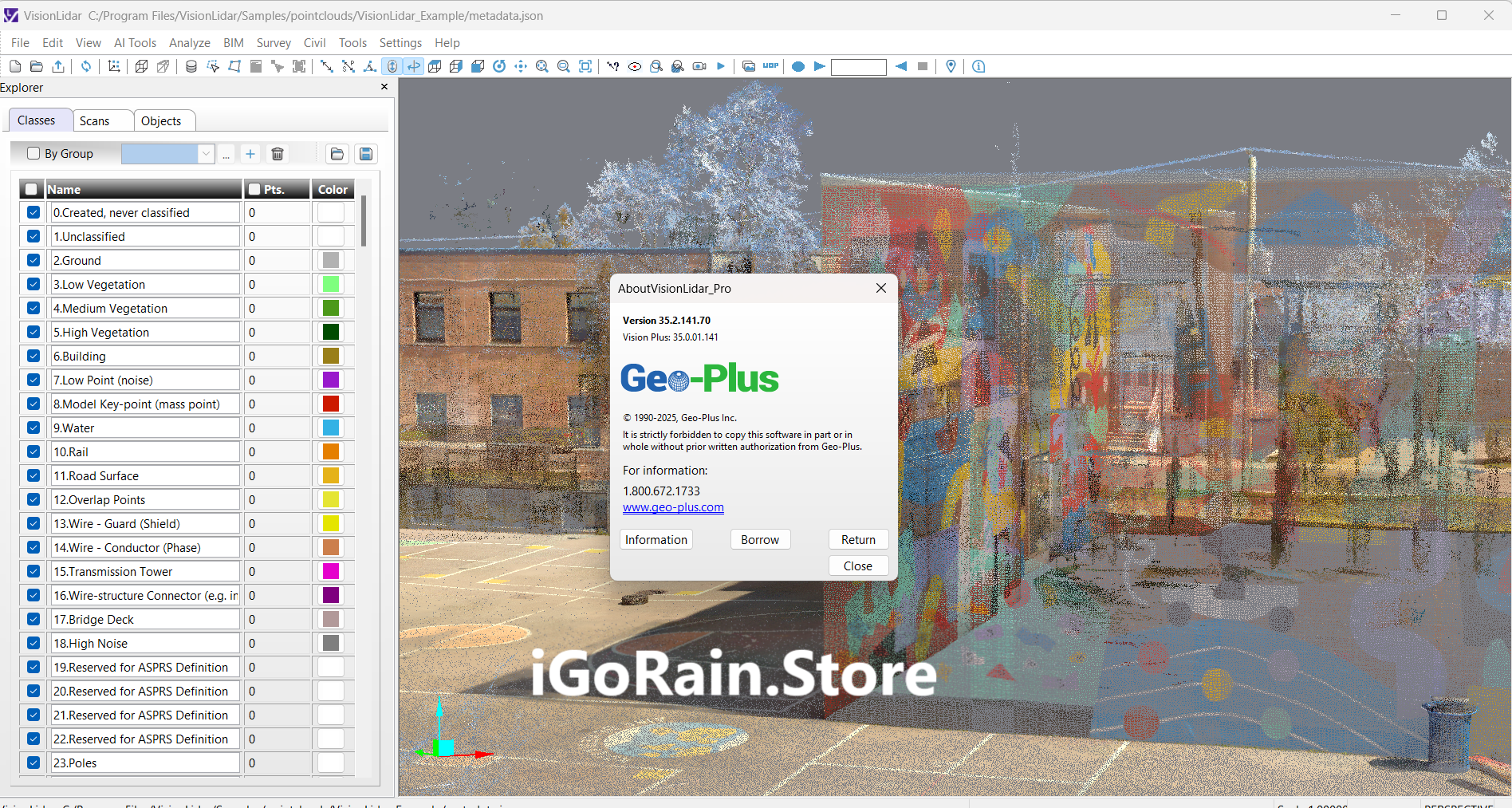
VisionLidar Pro 35.2.141 Download
Final Verdict: Is VisionLidar Pro Worth It?
VisionLidar Pro stands out as a complete, reliable, and high-precision LiDAR processing solution suitable for both small firms and enterprise environments. Its strong performance, automation capabilities, and extensive toolset make it a top choice for professionals who demand accuracy and efficiency.
Whether you work in surveying, construction, civil engineering, environmental analysis, or industrial inspection, VisionLidar Pro provides the tools needed to transform raw point-cloud data into meaningful results. With its combination of power, usability, and industry-ready workflows, it delivers excellent value and long-term return on investment.


Reviews
There are no reviews yet.