Description
Opencartis Spatial Manager for AutoCAD Professional Review 2026: The Complete GIS and CAD Data Management Solution
Quick Overview
Opencartis Spatial Manager for AutoCAD Professional is a powerful extension that enhances AutoCAD with advanced Geographic Information System (GIS) capabilities. It enables engineers, surveyors, architects, urban planners, and GIS professionals to import, export, edit, transform, analyze, and manage spatial data directly inside AutoCAD without constantly switching between multiple applications.
For organizations working with mapping projects, infrastructure development, land surveying, utilities, transportation networks, or environmental planning, Spatial Manager significantly simplifies complex workflows. Its support for dozens of GIS formats, coordinate reference systems, online maps, and data transformation tools makes it one of the most practical GIS plugins available for AutoCAD professionals.
Whether you’re handling small engineering projects or enterprise-scale spatial datasets, Opencartis Spatial Manager for AutoCAD Professional delivers efficiency, precision, and seamless integration.
Introduction
Modern engineering and mapping projects depend heavily on accurate geographic information. While AutoCAD remains one of the industry’s leading CAD platforms, managing GIS data within AutoCAD has traditionally required additional software and complicated workflows.
Opencartis Spatial Manager for AutoCAD Professional solves this challenge by bringing professional GIS functionality directly into AutoCAD. Instead of exporting files between multiple applications, users can work with shapefiles, databases, online maps, coordinate systems, and spatial analysis tools from one familiar workspace.
This streamlined approach reduces project complexity while improving productivity, making it especially valuable for professionals who regularly combine CAD drawings with geospatial information.
Whether you’re updating municipal infrastructure, designing utility networks, or preparing land development plans, Spatial Manager helps bridge the gap between CAD and GIS.
Key Features
Extensive GIS Data Import and Export
One of the software’s biggest strengths is its broad compatibility with spatial data formats.
Supported formats include:
- ESRI Shapefile
- KML and KMZ
- GeoJSON
- GML
- GPX
- SQLite
- CSV with coordinates
- PostGIS
- SQL Server Spatial
- Oracle Spatial
- WFS services
- Other popular GIS formats
This flexibility allows professionals to exchange data easily across multiple GIS platforms.
Coordinate System Management
Spatial Manager includes comprehensive support for coordinate reference systems (CRS).
Users can:
- Assign coordinate systems
- Reproject datasets
- Convert between coordinate systems
- Maintain accurate spatial positioning
- Work with international mapping standards
This feature is especially valuable for multinational projects or organizations working with diverse geographic datasets.
Direct Connection to Spatial Databases
Instead of relying on exported files, users can connect directly to enterprise databases.
Supported database technologies include:
- PostgreSQL/PostGIS
- SQL Server Spatial
- Oracle Spatial
- SQLite
Direct database access improves collaboration while minimizing duplicate data.
Online Maps Integration
Professionals can display online map services directly within AutoCAD.
This includes:
- Satellite imagery
- Street maps
- Terrain maps
- Hybrid mapping services
Having live mapping backgrounds improves design accuracy and project visualization.
Advanced Data Query Tools
The Professional edition offers advanced filtering capabilities.
Users can search data using:
- Attribute values
- Geometry
- Spatial relationships
- Layer filters
- Custom SQL expressions
Large datasets become much easier to manage and analyze.
Data Transformation Tools
Spatial Manager includes powerful conversion tools that allow users to:
- Convert geometries
- Clean spatial data
- Transform coordinates
- Merge datasets
- Split features
- Modify attributes
These tools reduce manual editing and improve project consistency.
Object Data Management
Users can assign custom attribute information to AutoCAD entities, enabling CAD drawings to function more like GIS datasets.
This improves documentation while supporting advanced reporting and analysis.
Import Wizard
The step-by-step import wizard simplifies complex GIS imports.
Users can:
- Preview data
- Select layers
- Define coordinate systems
- Configure attributes
- Choose import settings
Even new users can quickly begin working with spatial data.
Practical Use Cases
Land Surveying
Surveyors frequently receive GPS data, shapefiles, and coordinate-based information from field equipment.
Spatial Manager allows them to:
- Import survey points
- Overlay satellite imagery
- Transform coordinates
- Create accurate CAD drawings
The result is faster project delivery with fewer manual conversions.
Civil Engineering
Civil engineers often combine GIS information with engineering plans.
Typical projects include:
- Highways
- Bridges
- Drainage systems
- Utility corridors
- Transportation planning
Spatial Manager keeps geographic information synchronized with CAD designs.
Urban Planning
Municipal planners manage enormous datasets including:
- Roads
- Zoning maps
- Utilities
- Buildings
- Green spaces
Instead of switching between GIS software and AutoCAD, planners can perform much of their work inside one environment.
Utility Network Design
Electricity, gas, telecommunications, and water companies depend on accurate mapping.
Spatial Manager helps teams manage:
- Pipeline layouts
- Cable routing
- Network expansion
- Maintenance planning
- Asset management
Accurate geographic positioning reduces costly design errors.
Environmental Projects
Environmental consultants frequently analyze:
- Rivers
- Forests
- Wetlands
- Protected areas
- Environmental impact zones
The software simplifies importing environmental GIS layers into engineering drawings.
Infrastructure Development
Large infrastructure projects often involve multiple consultants working with different GIS systems.
Spatial Manager improves collaboration by supporting industry-standard data formats across various platforms.
Performance Analysis
Performance is one of the strongest aspects of Opencartis Spatial Manager for AutoCAD Professional.
Unlike many GIS plugins that become sluggish with large datasets, Spatial Manager remains responsive when working with thousands of spatial objects. Efficient database connectivity and optimized import routines reduce waiting times while maintaining data integrity.
The software also minimizes repetitive manual tasks through automation features and intelligent import workflows.
Strengths in Performance
- Fast GIS data imports
- Stable handling of large projects
- Efficient coordinate transformations
- Smooth AutoCAD integration
- Reliable database connectivity
- Optimized memory usage
Professionals handling large engineering projects will appreciate the productivity improvements over traditional GIS workflows.
User Experience
One of the reasons many professionals choose Spatial Manager is its intuitive interface.
Rather than introducing an entirely new workflow, the software integrates naturally into AutoCAD’s existing environment.
Experienced AutoCAD users typically adapt quickly because:
- Menus are well organized.
- Import tools are guided.
- GIS functions are logically grouped.
- Coordinate management is straightforward.
- Online map integration is simple.
This reduces training time while increasing adoption across engineering teams.
Benefits for Professional Teams
Organizations using Opencartis Spatial Manager often experience measurable workflow improvements.
Key benefits include:
- Reduced software switching
- Faster GIS imports
- Improved spatial accuracy
- Better project collaboration
- Centralized geographic data management
- Lower risk of coordinate errors
- Simplified data conversion
- Increased engineering productivity
For companies managing multiple projects simultaneously, these efficiencies translate into real cost savings.
Pros & Cons
Pros
- Excellent AutoCAD integration
- Comprehensive GIS format support
- Professional coordinate transformation tools
- Direct database connectivity
- Online map integration
- User-friendly interface
- Reliable performance on large datasets
- Advanced spatial querying capabilities
- Time-saving import and export tools
- Suitable for engineering, surveying, and GIS professionals
Cons
- Primarily designed for professional users rather than beginners
- Advanced GIS functionality may require some learning for users unfamiliar with spatial data
- Licensing costs may be higher than basic CAD extensions, depending on edition and deployment requirements
Pricing & Plans
Opencartis Spatial Manager for AutoCAD Professional is generally available through commercial licensing.
Licensing options may include:
- Single-user licenses
- Multi-user licenses
- Business licenses
- Professional editions
- Upgrade options
Pricing can vary depending on the software version, licensing model, and organizational requirements. Prospective buyers should review the available licensing options to determine the best fit for their workflow and team size.
Why Choose Opencartis Spatial Manager for AutoCAD Professional?
Choosing the right GIS extension can dramatically improve engineering productivity.
Spatial Manager stands out because it combines:
- Professional GIS functionality
- Extensive format compatibility
- Enterprise database support
- Coordinate system management
- Fast data processing
- AutoCAD-native workflow
- Reliable long-term performance
Instead of treating GIS as a separate process, the software integrates spatial intelligence directly into CAD design.
This approach helps organizations reduce project complexity while improving data accuracy and collaboration.
Old Released is also available:
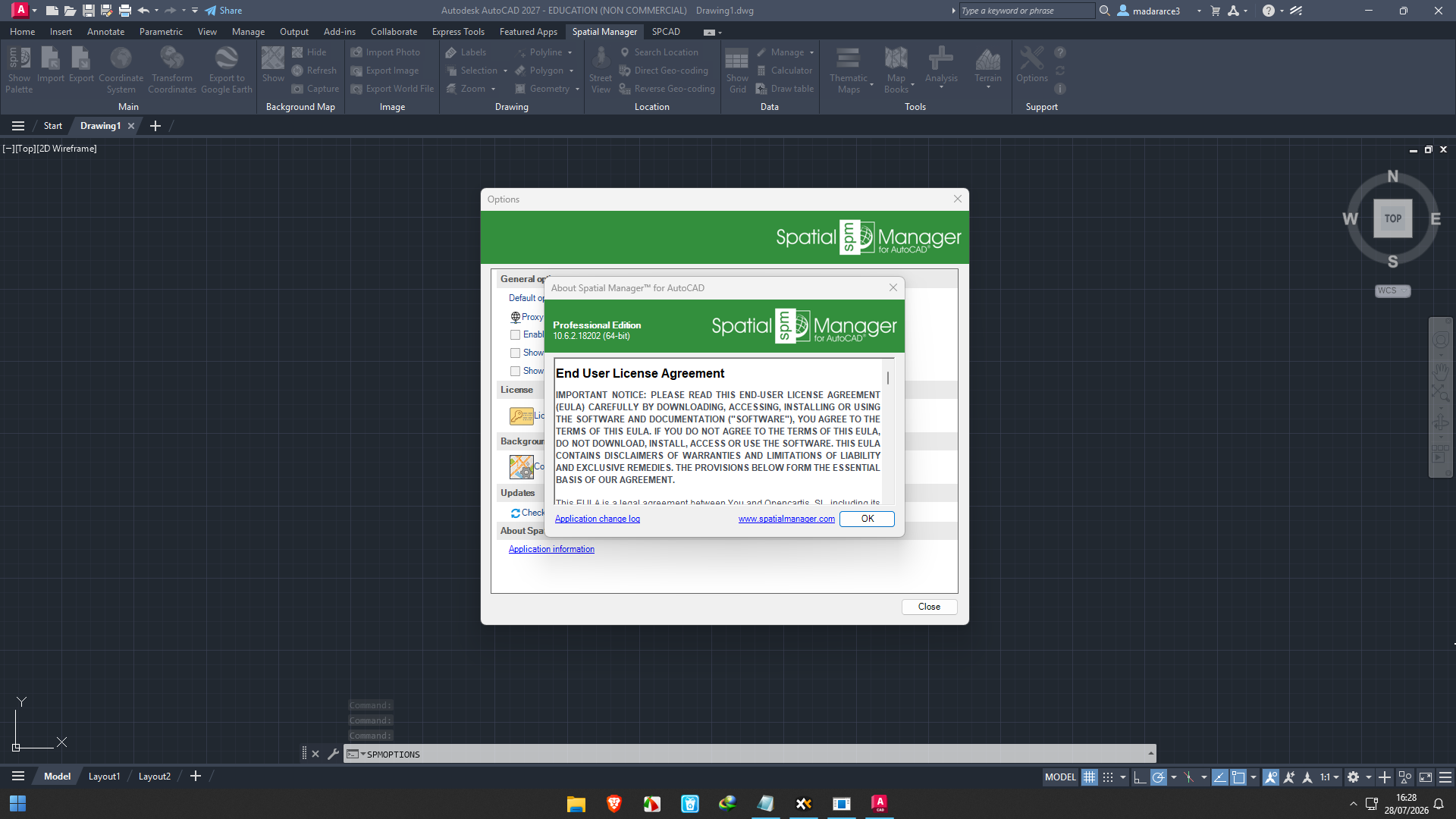
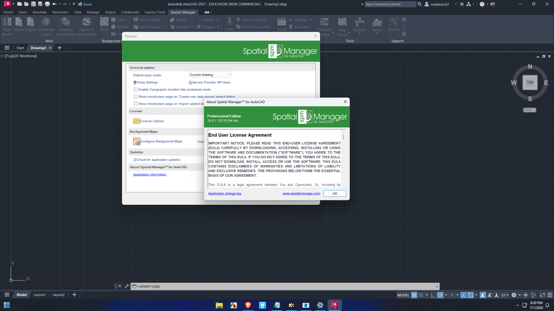
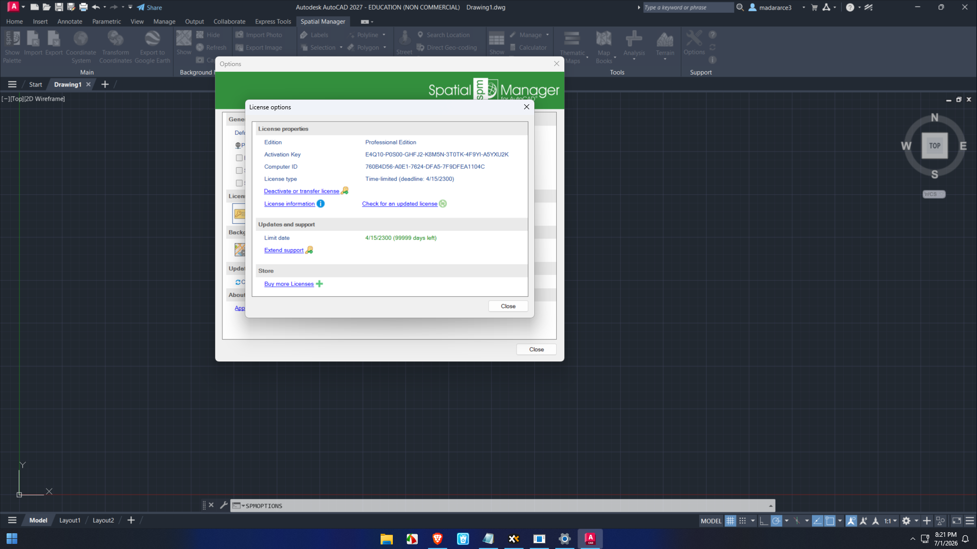
Opencartis Spatial Manager for AutoCAD Professional 10.6.1 Build 18118
Opencartis Spatial Manager for AutoCAD Developer
Opencartis Spatial Manager for AutoCAD Professional Edition 10.6.2 Build 18202
Final Verdict
Opencartis Spatial Manager for AutoCAD Professional is an outstanding solution for professionals who need advanced GIS functionality without leaving the AutoCAD environment. It bridges the gap between CAD design and geospatial analysis by offering powerful tools for importing, managing, transforming, and visualizing spatial data.
With support for numerous GIS formats, robust coordinate system management, direct database connectivity, and online map integration, it streamlines workflows that would otherwise require multiple software applications. The result is greater efficiency, improved accuracy, and better collaboration across engineering, surveying, planning, and infrastructure projects.



Reviews
There are no reviews yet.