Description
Opencartis Spatial Manager Desktop Review 2026 – Advanced GIS Data Management for CAD Professionals
Summary
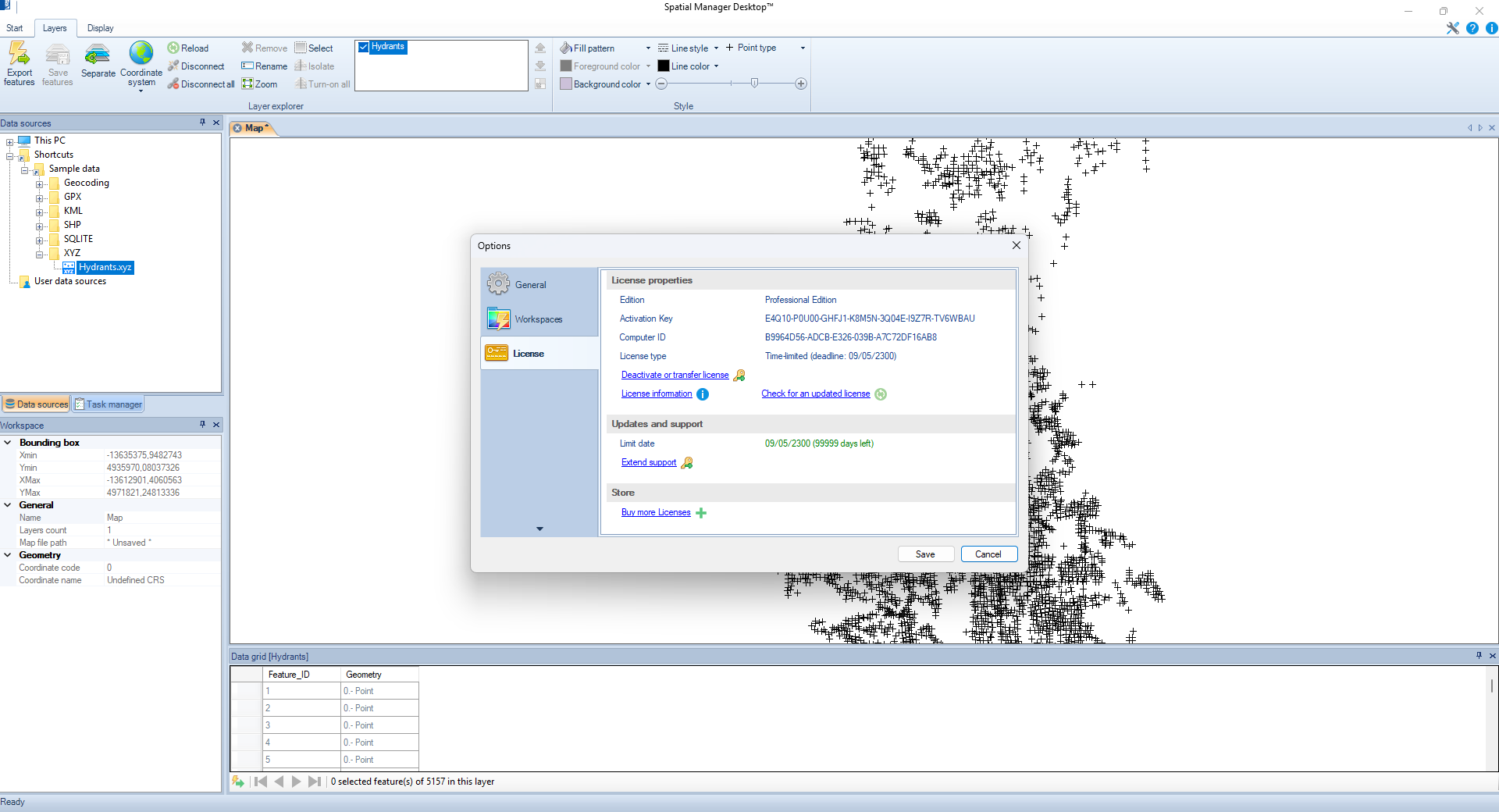
Managing geographic information can quickly become complicated when working across multiple GIS databases, CAD platforms, and mapping formats. Opencartis Spatial Manager Desktop is designed to simplify these challenges by offering a comprehensive desktop solution for viewing, editing, transforming, and managing spatial data from a single interface.
Whether you’re a GIS analyst, surveyor, civil engineer, urban planner, environmental consultant, or mapping professional, Spatial Manager Desktop provides powerful tools that improve productivity without requiring multiple specialized applications. It supports a wide range of spatial formats, coordinate systems, and database connections, making it an excellent solution for organizations handling complex geospatial projects.
In this review, we’ll examine its features, real-world applications, performance, advantages, limitations, pricing considerations, and why it continues to be a trusted GIS desktop software solution.
Introduction
Geographic Information Systems (GIS) have become an essential part of modern infrastructure planning, environmental management, utility mapping, transportation analysis, and land surveying. However, many professionals struggle with fragmented workflows that require switching between several applications to manage different spatial datasets.
Opencartis Spatial Manager Desktop solves this problem by combining data visualization, coordinate transformation, editing, conversion, querying, and management into one unified desktop application.
Instead of spending valuable time converting files or troubleshooting incompatible formats, users can focus on analyzing data and completing projects efficiently.
Its compatibility with numerous GIS databases and mapping standards makes it a valuable investment for organizations seeking reliable desktop GIS management software.
Key Features of Opencartis Spatial Manager Desktop
Comprehensive Spatial Data Support
Spatial Manager Desktop supports numerous spatial file formats and databases, including:
- Shapefiles
- GeoJSON
- KML
- GPX
- CSV with coordinates
- SQLite
- PostGIS
- SQL Server Spatial
- Oracle Spatial
- MySQL Spatial
- WFS services
- Various raster formats
This broad compatibility eliminates common data exchange problems.
Coordinate System Management
One of its strongest capabilities is handling coordinate reference systems accurately.
Users can:
- Convert between coordinate systems
- Reproject datasets
- Define custom projections
- Validate spatial references
- Maintain positional accuracy
This is particularly valuable for international engineering and surveying projects.
Data Import and Export
Importing and exporting GIS information is straightforward.
Supported operations include:
- Batch conversion
- Multi-format export
- Database synchronization
- Attribute preservation
- Geometry validation
This significantly reduces manual processing time.
Powerful Spatial Editing
Users can modify geographic data directly within the software.
Editing tools include:
- Move features
- Split geometries
- Merge polygons
- Edit vertices
- Update attributes
- Create new spatial objects
- Delete unnecessary features
These tools simplify map maintenance.
Advanced Spatial Queries
Finding information within large datasets becomes much easier.
Query capabilities include:
- Attribute filtering
- Spatial intersection
- Distance calculations
- Buffer analysis
- Object selection
- Geometry validation
These functions support informed decision-making.
Database Connectivity
Spatial Manager Desktop connects directly to enterprise spatial databases.
Benefits include:
- Live database access
- Multi-user workflows
- Secure connections
- Data synchronization
- Efficient updates
Organizations working with centralized GIS systems greatly benefit from this functionality.
Mapping and Visualization
The software includes powerful visualization tools.
Users can:
- Display multiple map layers
- Customize symbology
- Label features
- Adjust transparency
- Organize projects
- Navigate large datasets smoothly
Visualization helps users understand complex geographic relationships.
Batch Processing
Handling hundreds or thousands of files manually can consume significant time.
Batch processing allows users to:
- Convert multiple datasets
- Reproject entire folders
- Rename files
- Validate geometry
- Automate repetitive tasks
This dramatically improves productivity.
Practical Use Cases
Civil Engineering
Engineering firms often receive survey data in different coordinate systems and formats.
Spatial Manager Desktop helps engineers:
- Prepare CAD-ready GIS files
- Convert survey information
- Validate geometry
- Manage infrastructure projects
This streamlines project delivery.
Urban Planning
Municipal planning departments use the software to manage:
- Zoning maps
- Land parcels
- Transportation networks
- Development plans
- Utility infrastructure
Its editing and visualization capabilities support better planning decisions.
Environmental Consulting
Environmental professionals frequently work with multiple geographic datasets.
The software assists in:
- Habitat mapping
- Watershed analysis
- Protected area management
- Environmental reporting
- Site assessments
Accurate spatial analysis improves reporting quality.
Utility Management
Electricity, water, gas, and telecommunications companies benefit from centralized GIS management.
Common applications include:
- Asset mapping
- Network maintenance
- Service planning
- Infrastructure inspections
- Expansion projects
Reliable geographic data improves operational efficiency.
Surveying
Surveyors often receive data from GPS equipment, drones, and total stations.
Spatial Manager Desktop simplifies:
- Coordinate conversion
- Survey validation
- Feature editing
- Data export
- Client deliverables
This reduces post-processing time considerably.
Academic Research
Universities and research institutions use the software for:
- Spatial analysis
- Geographic visualization
- Environmental studies
- Population mapping
- Land use research
Students also benefit from learning professional GIS workflows.
Performance Analysis
One of the software’s biggest strengths is its stability.
Large GIS datasets load efficiently without excessive memory usage. Database connections remain reliable, and editing operations respond smoothly even when handling complex geometries.
Coordinate transformations are performed accurately, while import and export operations maintain attribute integrity.
Batch processing performs especially well when converting multiple datasets simultaneously, saving hours of repetitive work.
The interface is organized logically, allowing experienced GIS professionals to become productive quickly while remaining approachable for newer users.
Overall performance is dependable enough for daily professional use across engineering firms, government agencies, and consulting organizations.
User Experience
Professionals often praise Spatial Manager Desktop for simplifying otherwise complicated GIS workflows.
Instead of relying on several disconnected applications, users can perform nearly every common spatial management task from one workspace.
Many organizations report reduced project turnaround times because employees spend less time converting files and troubleshooting compatibility issues.
The software’s clean interface, reliable database support, and broad format compatibility contribute to an efficient user experience.
Old Released is also available:
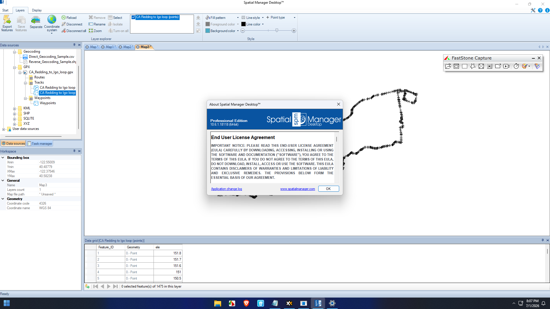
Opencartis Spatial Manager Desktop 10.6.1 Build 18118
Pros and Cons
Pros
- Excellent support for numerous GIS formats
- Powerful coordinate system conversion tools
- Reliable enterprise database connectivity
- Fast batch processing capabilities
- Professional editing features
- Strong visualization tools
- Efficient handling of large datasets
- Suitable for engineering, surveying, and GIS professionals
- User-friendly interface
- Improves workflow efficiency
Cons
- Advanced GIS concepts may require some learning for beginners
- Premium features may exceed the needs of casual users
- Performance depends on hardware specifications when processing extremely large datasets
Pricing & Plans
Opencartis Spatial Manager Desktop is generally offered as a commercial desktop application with licensing options that may vary depending on the edition, number of users, and organizational requirements.
Businesses can typically choose from:
- Individual licenses
- Professional licenses
- Business or enterprise licensing
- Upgrade options for existing customers
Organizations should evaluate the available editions to determine which feature set best matches their workflow and project requirements.
Why Choose Opencartis Spatial Manager Desktop?
There are many GIS desktop applications available, but Spatial Manager Desktop distinguishes itself by combining professional-grade GIS management with broad compatibility and practical workflow tools.
Key advantages include:
- Unified GIS workspace
- Extensive file format compatibility
- Accurate coordinate transformations
- Enterprise database integration
- Efficient batch processing
- Professional editing capabilities
- Reliable long-term performance
- Reduced workflow complexity
These strengths make it suitable for organizations handling demanding geospatial projects.
Opencartis Spatial Manager Desktop Developer
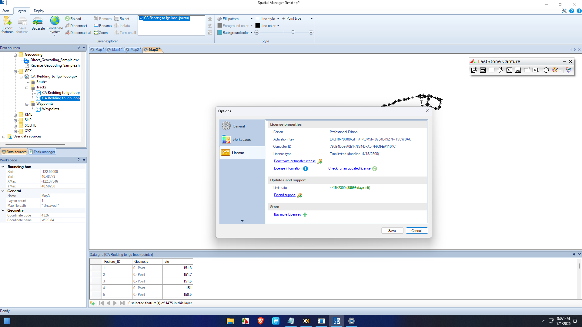
Opencartis Spatial Manager Desktop 10.6.2 Build 18202
Final Verdict
Opencartis Spatial Manager Desktop is a robust and feature-rich GIS management solution built for professionals who require reliable spatial data handling, accurate coordinate transformations, extensive format compatibility, and seamless database integration.
Its comprehensive editing tools, efficient batch processing, and enterprise-level capabilities make it an excellent choice for civil engineers, GIS specialists, surveyors, planners, utility companies, environmental consultants, and research institutions.
While beginners may need some time to learn advanced GIS concepts, the software rewards users with a streamlined workflow that saves significant time on complex projects. Its combination of stability, flexibility, and professional-grade functionality positions it as one of the stronger desktop GIS management solutions available today.



Reviews
There are no reviews yet.