Description
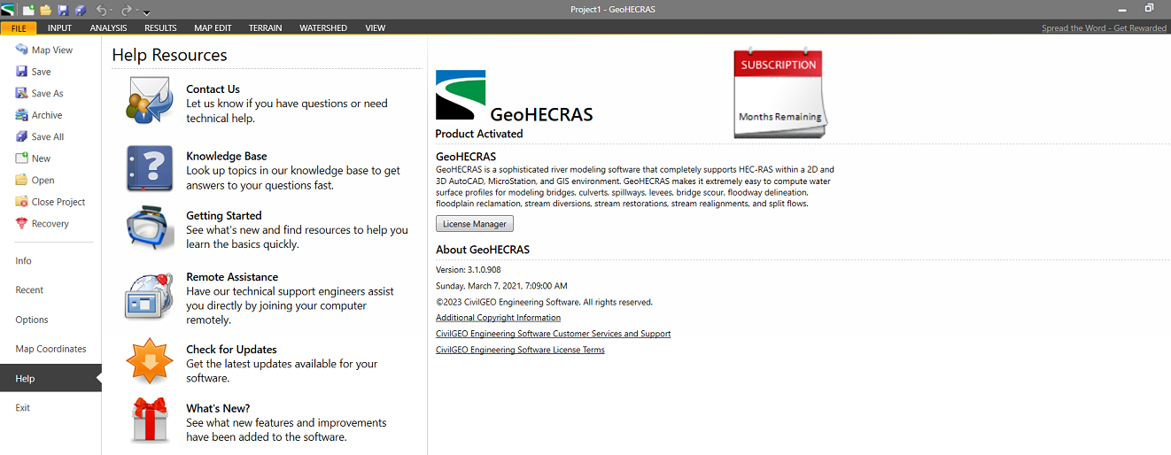
GeoHECRAS 3.1.0.908: Advanced Hydraulic Modeling Software for Floodplain Analysis and Water Resource Engineering
GeoHECRAS Summary
GeoHECRAS is a professional hydraulic modeling software built to simplify complex river, floodplain, bridge, culvert, and stormwater analysis. Designed with an intuitive GIS-based interface, it enhances the capabilities of the widely used HEC-RAS engine while making hydraulic modeling more accessible for engineers, hydrologists, consultants, and government agencies.
Whether you’re conducting flood risk assessments, designing drainage infrastructure, or preparing regulatory reports, GeoHECRAS offers an efficient workflow that reduces manual effort while improving modeling accuracy. Its visualization tools, terrain processing capabilities, and automated data management make it a valuable solution for professionals handling both small and large-scale hydraulic projects.
If you’re searching for reliable hydraulic modeling software that combines engineering precision with ease of use, GeoHECRAS deserves serious consideration.
Introduction
Hydraulic modeling has become an essential part of modern civil engineering and environmental planning. As climate change increases the frequency of extreme rainfall events, engineers need dependable tools to analyze rivers, floodplains, bridges, dams, and stormwater systems.
This is where GeoHECRAS stands out.
Instead of requiring users to manually build complicated hydraulic models, GeoHECRAS streamlines the entire workflow with powerful GIS integration, automated terrain processing, and an intuitive interface. Built around the trusted HEC-RAS computational engine, it significantly reduces the learning curve while helping professionals produce reliable hydraulic simulations.
From engineering consultants to municipal planners and water resource agencies, GeoHECRAS has become a preferred solution for projects requiring accurate hydraulic analysis, floodplain mapping, and infrastructure design.
Key Features of GeoHECRAS
GeoHECRAS includes a wide range of advanced features designed for professional hydraulic engineering projects.
User-Friendly GIS Interface
Unlike traditional hydraulic modeling software that often requires multiple applications, GeoHECRAS integrates GIS functionality directly into the modeling workflow.
Benefits include:
- Easy map navigation
- Interactive terrain editing
- Visual model creation
- Simplified project organization
- Faster data management
The intuitive interface allows engineers to spend more time analyzing results rather than managing complex software.
Advanced Hydraulic Modeling
GeoHECRAS supports both simple and highly detailed hydraulic analyses.
It can model:
- Rivers
- Streams
- Floodplains
- Bridges
- Culverts
- Levees
- Dams
- Stormwater channels
The software enables accurate simulations for a wide variety of hydraulic conditions.
Terrain Processing Tools
High-quality terrain data is critical for accurate flood modeling.
GeoHECRAS includes tools for:
- DEM processing
- Terrain generation
- Cross-section creation
- Elevation editing
- Surface visualization
This automation significantly reduces preparation time while improving model accuracy.
Floodplain Mapping
Floodplain mapping is one of GeoHECRAS’s strongest capabilities.
Engineers can generate:
- Flood depth maps
- Velocity maps
- Water surface profiles
- Inundation boundaries
- Hazard maps
These outputs help communicate project findings to clients, regulatory agencies, and stakeholders.
Bridge and Culvert Analysis
Transportation infrastructure often affects river hydraulics.
GeoHECRAS allows engineers to model:
- Bridge openings
- Culvert systems
- Road overtopping
- Flow constrictions
- Hydraulic structures
This improves design accuracy while helping identify potential flooding issues before construction.
Integrated GIS Compatibility
GeoHECRAS works efficiently with geographic information, making it easier to combine hydraulic models with mapping data.
Users can manage:
- Terrain layers
- Aerial imagery
- Property boundaries
- Infrastructure datasets
- River networks
The result is a more complete engineering workflow.
Practical Use Cases
One of GeoHECRAS’s greatest strengths is its versatility across multiple engineering disciplines.
Flood Risk Assessment
Engineering consultants regularly use GeoHECRAS to evaluate flood hazards for residential and commercial developments.
Typical applications include:
- Floodplain delineation
- FEMA-style studies
- Risk mitigation planning
- Insurance assessments
Accurate flood modeling helps communities make informed development decisions.
River Engineering Projects
River restoration requires detailed hydraulic analysis.
GeoHECRAS assists engineers by modeling:
- River channel improvements
- Bank stabilization
- Sediment movement
- Flow distribution
This supports environmentally responsible engineering solutions.
Bridge Design
Transportation engineers frequently analyze how bridges impact water flow.
GeoHECRAS allows designers to evaluate:
- Water surface elevations
- Scour potential
- Bridge capacity
- Flood impacts
This leads to safer and more efficient bridge designs.
Stormwater Management
Urban development increases runoff and drainage challenges.
GeoHECRAS helps engineers design:
- Stormwater channels
- Drainage improvements
- Retention systems
- Flood control infrastructure
The software supports long-term infrastructure planning for growing communities.
Municipal Planning
Cities and local governments use GeoHECRAS to support infrastructure development.
Common municipal projects include:
- Floodplain management
- Drainage master plans
- Watershed studies
- Capital improvement planning
Its visualization capabilities make technical results easier to present during planning meetings.
Real-World User Experience
Imagine a consulting engineering firm responsible for evaluating flood risks for a proposed housing development near a river.
Without advanced software, engineers would spend days processing terrain data, preparing hydraulic models, and manually generating flood maps.
Using GeoHECRAS, much of this workflow becomes automated.
Terrain data imports smoothly, cross-sections are generated efficiently, hydraulic structures are added visually, and flood maps are produced in far less time.
Clients benefit from quicker project delivery, while engineers gain greater confidence in the accuracy of their hydraulic analyses.
This practical efficiency is one reason GeoHECRAS continues to be widely adopted in water resources engineering.
Performance Analysis
GeoHECRAS performs exceptionally well across projects of varying complexity.
Modeling Speed
Automation significantly reduces repetitive tasks, allowing projects to progress faster than traditional workflows.
Visualization Quality
The software provides clear graphical outputs that improve interpretation of hydraulic results.
Data Management
Organizing terrain, structures, and hydraulic components is considerably easier thanks to the integrated project environment.
Accuracy
Since GeoHECRAS utilizes the proven HEC-RAS computational engine, engineers can rely on industry-recognized hydraulic calculations while benefiting from enhanced usability.
Productivity
By minimizing manual processes, engineering teams can complete more projects within shorter timelines.
Advantages of Using GeoHECRAS
GeoHECRAS delivers several practical benefits that improve engineering workflows.
Improved Productivity
Automation reduces hours spent on repetitive model preparation.
Better Visualization
Interactive mapping improves communication with clients and regulatory agencies.
Reduced Learning Curve
The intuitive interface makes advanced hydraulic modeling easier for new users.
Comprehensive Hydraulic Analysis
The Geo HECRAS 2026 software supports numerous hydraulic scenarios from simple channels to complex floodplain systems.
Professional Reporting
Well-organized outputs simplify documentation and project presentations.
Pros and Cons
Pros
- Easy-to-use GIS-based interface
- Advanced hydraulic modeling capabilities
- Excellent floodplain mapping tools
- Reliable HEC-RAS computational engine
- Strong terrain processing features
- Efficient bridge and culvert analysis
- High-quality visualization tools
- Suitable for both small and large engineering projects
Cons
- Advanced features may require training for beginners.
- Large, high-resolution datasets can demand powerful computer hardware.
- Licensing costs may be significant for individual users or small firms, depending on the chosen edition.
Pricing & Plans
Geo HECRAS 3.1.0.908 is offered through commercial licensing, with pricing varying based on factors such as license type, organizational requirements, and maintenance options.
Prospective buyers should evaluate:
- Individual versus network licensing
- Annual maintenance and software updates
- Technical support availability
- Training resources
- Organizational deployment needs
Because pricing structures may change over time, requesting an official quote is the best way to determine the most suitable licensing option.
Who Should Use GeoHECRAS?
GeoHECRAS is an excellent choice for:
- Civil engineers
- Hydraulic engineers
- Water resource consultants
- Environmental professionals
- Government agencies
- Municipal planners
- Transportation engineers
- Floodplain managers
- Infrastructure consultants
- Engineering firms working on river and drainage projects
Its balance of advanced functionality and user-friendly design makes it valuable for both experienced professionals and organizations seeking to improve hydraulic modeling efficiency.
Final Verdict
GeoHECRAS is one of the most capable hydraulic modeling software solutions available for professionals involved in floodplain analysis, river engineering, stormwater management, and water resource planning. By combining the trusted HEC-RAS computational engine with an intuitive GIS-based interface, it transforms complex hydraulic modeling into a more streamlined and productive process.
Its strengths lie in terrain processing, flood mapping, bridge and culvert analysis, visualization, and overall workflow automation. These capabilities help engineering teams reduce manual effort while maintaining the accuracy expected in professional hydraulic studies.
For organizations seeking dependable hydraulic analysis software with modern GIS integration and powerful visualization tools, GeoHECRAS represents a worthwhile investment that can improve project quality, efficiency, and decision-making.
If your work involves hydraulic modeling, flood risk assessment, infrastructure design, or water resource engineering, GeoHECRAS is a solution worth exploring. Evaluating its features through a trial or demonstration can help determine how it fits your project’s requirements and enhance the efficiency of your engineering workflow.




Reviews
There are no reviews yet.