Description
GMS Groundwater Modeling System: Comprehensive Professional Review for Hydrogeology and Environmental Simulation
Summary
The GMS Groundwater Modeling System is widely regarded as one of the most powerful and versatile software platforms for groundwater simulation, hydrogeologic modeling, and environmental water resource analysis. Designed for engineers, hydrogeologists, and environmental consultants, it integrates advanced numerical modeling tools with an intuitive interface that simplifies complex subsurface simulations. From contaminant transport prediction to aquifer analysis and water supply planning, GMS delivers an industry-grade environment for building accurate and defensible groundwater models. Its strength lies in combining multiple modeling engines, robust GIS integration, and streamlined workflows that reduce the time required for calibration, simulation, and reporting.
Introduction
Groundwater management has become a critical component of modern environmental engineering due to increasing water demand, contamination risks, and climate variability. Professionals need reliable software that can simulate subsurface conditions with precision while remaining accessible enough for iterative analysis and decision-making.
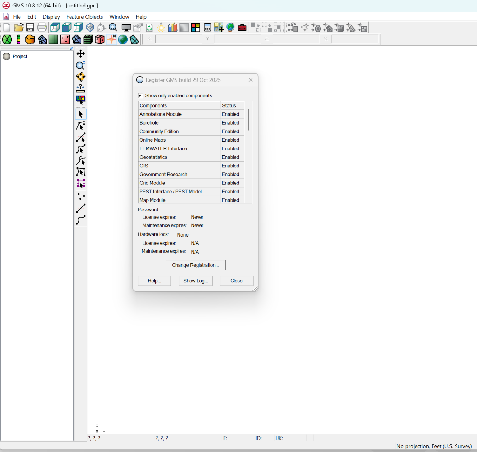
The GMS Groundwater Modeling System (often searched as GMS modeling software, groundwater simulation tools, or aquifer modeling platform) is developed to meet these demands. It provides a comprehensive environment for constructing, calibrating, and visualizing groundwater models using industry-standard numerical engines such as MODFLOW.
What makes GMS particularly valuable is its ability to unify modeling, data processing, and visualization in a single platform. Instead of relying on multiple disconnected tools, users can manage the entire groundwater modeling workflow within one system.
Key Features
The GMS Groundwater Modeling System includes a wide range of technical features designed for professional hydrogeological applications.
1. Integrated Modeling Environment
GMS supports multiple groundwater modeling engines, including:
- MODFLOW (widely used finite-difference groundwater flow model)
- MT3DMS for contaminant transport simulation
- RT3D for reactive transport modeling
- SEEP2D for seepage analysis
This integration allows users to perform both simple and advanced simulations without switching platforms.
2. Advanced GIS-Based Interface
A major advantage of GMS is its GIS-driven environment, enabling:
- Layered spatial data management
- Geological mapping and interpretation
- Seamless import of shapefiles and raster data
- Terrain and aquifer visualization
This spatial integration enhances accuracy in model setup and interpretation.
3. 3D Visualization and Modeling
GMS provides powerful 3D visualization tools that allow users to:
- Build 3D geological frameworks
- Visualize groundwater flow directions
- Analyze contaminant plume movement
- Interpret subsurface structures in detail
This improves both technical understanding and communication with stakeholders.
4. Automated Model Calibration Tools
Calibration is a critical stage in groundwater modeling. GMS offers:
- Parameter estimation tools
- Sensitivity analysis modules
- Automated calibration workflows
These features reduce manual effort and increase model reliability.
5. Data Import and Processing Capabilities
The software supports multiple data formats:
- Excel and CSV datasets
- GIS shapefiles
- Well logs and borehole data
- Time-series monitoring data
This flexibility simplifies model development from real-world datasets.
6. Scenario Simulation and Prediction
Users can simulate multiple scenarios, including:
- Pumping impacts on aquifers
- Contaminant migration over time
- Recharge variations due to climate changes
- Industrial leakage effects
Practical Use Cases
The GMS Groundwater Modeling System is widely used across environmental, engineering, and academic fields.
1. Water Resource Management
Water authorities use GMS to:
- Estimate aquifer storage capacity
- Plan sustainable groundwater extraction
- Analyze long-term water availability
This ensures balanced resource utilization and prevents overexploitation.
2. Contaminant Transport Analysis
Environmental engineers rely on GMS for:
- Tracking pollution plumes in groundwater
- Evaluating industrial spill impacts
- Designing remediation strategies
This is especially important for industrial zones and landfill sites.
3. Construction and Infrastructure Projects
Civil engineers use GMS to:
- Assess groundwater impact on foundations
- Evaluate dewatering requirements
- Plan tunnels and underground structures
It reduces geotechnical risks during construction.
4. Mining and Petroleum Applications
Mining engineers apply GMS to:
- Model groundwater inflow into mines
- Predict dewatering needs
- Assess environmental impact of extraction
5. Academic and Research Applications
Universities use GMS for:
- Teaching hydrogeology and environmental modeling
- Conducting research on aquifer dynamics
- Publishing groundwater studies based on simulation data
Performance Analysis
The performance of GMS Groundwater Modeling System is generally considered high-end and reliable, especially for professional-scale projects.
Strengths in Performance
- Handles large datasets efficiently
- Provides stable simulation results for complex aquifer systems
- Supports multi-layered geological models
- Integrates smoothly with MODFLOW-based workflows
Computational Efficiency
While performance depends on hardware, GMS is optimized for:
- Medium to large-scale groundwater models
- Long-term simulation runs
- High-resolution spatial grids
On advanced workstations, simulation times are significantly reduced, especially when using calibrated model setups.
Accuracy and Reliability
The software is widely trusted in environmental consulting due to:
- Proven numerical engines
- Peer-reviewed modeling frameworks
- Industry acceptance of MODFLOW-based results
This makes outputs suitable for regulatory reporting and environmental compliance documentation.
Pros and Cons
Pros
- Comprehensive groundwater modeling environment
- Strong GIS integration for spatial analysis
- Advanced 3D visualization tools
- Supports industry-standard modeling engines
- Suitable for both academic and professional use
- Efficient calibration and parameter estimation tools
- Flexible data import options
Cons
- Requires technical knowledge in hydrogeology
- Steep learning curve for beginners
- High system resource requirements for large models
- Licensing cost may be high for small organizations
- Not designed for casual or non-technical users
Pricing and Plans
The GMS Groundwater Modeling System is typically offered under a commercial licensing model. Pricing may vary based on:
- Academic vs commercial use
- Module selection (basic vs advanced packages)
- Network or standalone license type
- Subscription or perpetual license options
Common Licensing Options
- Standard Professional License: Suitable for consultants and engineers working on routine groundwater projects
- Advanced Modeling Suite: Includes additional simulation engines and advanced calibration tools
- Academic License: Discounted version for universities and research institutions
- Enterprise License: Multi-user setup for large organizations and government agencies
Since pricing is often customized based on requirements, organizations usually contact authorized vendors for exact quotations.
GMS GroundWater Modeling System Developer
GMS GroundWater Modeling System 10.8.12 Download
Final Verdict
The GMS Groundwater Modeling System stands as a powerful and industry-standard solution for groundwater simulation and hydrogeological analysis. Its combination of MODFLOW-based modeling, GIS integration, and advanced visualization tools makes it one of the most complete platforms available for environmental modeling professionals.
While it requires technical expertise and a learning investment, the software delivers exceptional value in terms of accuracy, scalability, and professional acceptance. Whether used for contaminant tracking, water resource planning, or geotechnical assessment, GMS provides a reliable framework for making informed, data-driven decisions.
For engineers, consultants, and researchers working in groundwater-related fields, GMS is not just a modeling tool—it is a complete decision-support system for understanding and managing subsurface water systems.
If your work involves groundwater analysis, environmental impact studies, or aquifer simulation, exploring the capabilities of GMS Groundwater Modeling System can significantly enhance both the precision and credibility of your projects.


Reviews
There are no reviews yet.