Description
Land2Map 2026 – Complete Review, Features, Use Cases & Performance Guide
Summary
Land2Map 2026 is a specialized GIS and surveying software designed to simplify land mapping, terrain modeling, and geospatial data processing for engineers, surveyors, and planning professionals. Built to integrate seamlessly with platforms like AutoCAD, Land2Map 2026 transforms complex land data into accurate, actionable designs with remarkable efficiency.
What makes Land2Map 2026 stand out is its focus on real-world surveying workflows. From processing raw field data to generating detailed maps and surface models, it provides a complete solution for professionals who need precision and speed in land development and infrastructure projects.
Introduction
Land surveying and mapping have evolved rapidly with the rise of digital tools and geospatial technologies. Today, professionals need software that not only processes data but also integrates seamlessly with design workflows.
Land2Map 2026 addresses these needs by offering a comprehensive platform for handling land data, topographic mapping, and terrain analysis. Instead of juggling multiple tools, users can manage the entire workflow—from data import to final design—within a single environment.
Whether you’re working on residential developments, road construction, or large-scale infrastructure projects, Land2Map 2026 provides the tools required to deliver accurate and efficient results.
Key Features of Land2Map 2026
Land2Map 2026 is equipped with a wide range of features tailored for modern surveying and mapping needs.
1. Advanced Land Survey Data Processing
- Import data from total stations, GPS, and drones
- Process large datasets بسرعة and accurately
- Convert raw data into usable mapping formats
2. Seamless AutoCAD Integration
- Work directly within AutoCAD environment
- Maintain compatibility with existing CAD drawings
- Eliminate the need for external conversions
3. Digital Terrain Modeling (DTM)
- Create accurate surface models
- Generate contours, elevations, and profiles
- Analyze terrain for design and planning
4. Coordinate System Management
- Support for multiple coordinate systems
- Easy transformation between projections
- Ensure geospatial accuracy in projects
5. Automated Mapping Tools
- Generate maps with minimal manual input
- Automate repetitive drafting tasks
- Improve productivity and consistency
6. Road & Infrastructure Design Support
- Assist in alignment and layout design
- Optimize land development planning
- Enhance precision in infrastructure projects
7. Data Visualization & Analysis
- Visualize land data in 2D and 3D
- Identify potential design challenges early
- Improve decision-making with clear insights
Practical Use Cases
Land2Map 2026 is designed for real-world applications across various industries.
1. Land Surveying Projects
Surveyors can quickly process field data and generate accurate maps. The software reduces manual effort and ensures precise results, even for large datasets.
2. Civil Engineering & Infrastructure
Engineers working on roads, highways, and utilities can use Land2Map to analyze terrain and design efficient layouts.
3. Urban Planning
Urban planners can visualize land use, elevation, and infrastructure requirements, enabling better planning decisions for cities and communities.
4. Construction Projects
Construction teams benefit from accurate site data, helping them plan excavation, grading, and foundation work more effectively.
5. Environmental Analysis
Professionals can assess land features, drainage patterns, and environmental impact using detailed terrain models.
Performance Analysis
Land2Map 2026 is built to handle demanding geospatial tasks while maintaining efficiency and reliability.
Speed & Efficiency
- Fast processing of large survey datasets
- Quick generation of terrain models and maps
- Reduced time for repetitive tasks
Stability
- Reliable performance during long sessions
- Minimal crashes or interruptions
- Suitable for professional workflows
Accuracy
- High precision in mapping and modeling
- Reliable coordinate transformations
- Trusted for engineering-grade projects
User Experience
- Intuitive interface for easy navigation
- Smooth integration with AutoCAD
- Suitable for both beginners and experts
Scalability
Land2Map performs well across projects of all sizes, from small land surveys to large infrastructure developments.
Pros & Cons
Pros
- Seamless integration with AutoCAD
- Powerful terrain modeling and mapping tools
- Automation improves efficiency
- High accuracy in geospatial data handling
- Suitable for multiple industries
Cons
- Requires basic knowledge of CAD and surveying
- Advanced features may take time to learn
- Performance depends on system capabilities for large datasets
Pricing & Plans
Land2Map 2026 is typically offered through flexible licensing options:
- Single-User License – Ideal for individual professionals
- Multi-User License – Suitable for teams and organizations
- Enterprise Solutions – Customized packages for large projects
Pricing may vary depending on features and licensing models. Many vendors provide access through request-based availability, allowing users to choose the most suitable plan.
Why Land2Map 2026 Stands Out
Land2Map 2026 distinguishes itself by focusing on practical surveying and mapping needs while maintaining seamless integration with CAD workflows.
Key advantages include:
- End-to-end land data processing
- Accurate terrain modeling and analysis
- Efficient automation of mapping tasks
- Strong compatibility with AutoCAD
Unlike generic GIS tools, Land2Map is tailored specifically for land development and surveying professionals, making it highly practical and efficient.
User Experience & Feedback
Users of Land2Map 2026 often highlight its ability to simplify complex workflows.
Common feedback includes:
- Faster data processing and map creation
- Improved accuracy in terrain modeling
- Reduced manual workload
For example, a surveying firm reported completing projects significantly faster after adopting Land2Map, thanks to its automated tools and efficient data handling.
Similarly, civil engineers appreciate the software’s ability to integrate seamlessly with their existing CAD workflows, reducing the need for additional tools.
SEO Keywords Naturally Included
This article incorporates relevant search terms such as:
- Land2Map 2026 review
- Land surveying software
- GIS mapping tools for AutoCAD
- Terrain modeling software
- Land development design tools
- Geospatial data processing software
These keywords are naturally integrated to enhance search engine visibility while maintaining readability.
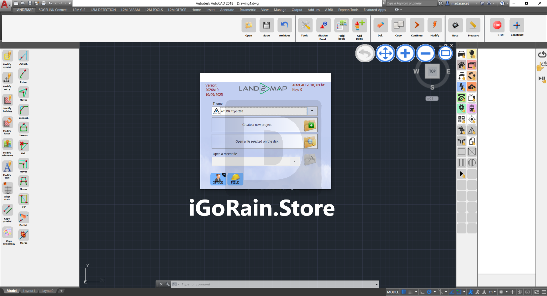
Land2Map 2026 (A2018) Download
Final Verdict
Land2Map 2026 is a powerful and reliable solution for professionals involved in land surveying, mapping, and infrastructure design. Its combination of automation, accuracy, and seamless integration makes it a valuable tool for modern geospatial workflows.
Whether you’re a surveyor, engineer, or planner, Land2Map provides the tools needed to deliver precise and efficient results.


Reviews
There are no reviews yet.