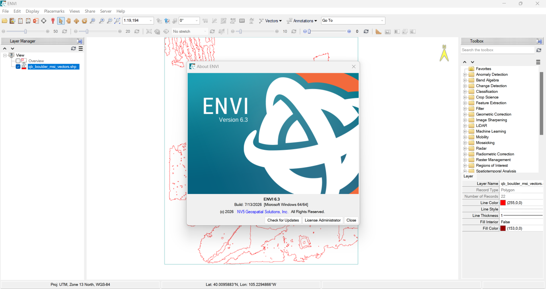
Description
NV5 Geospatial ENVI 2026: Features, Benefits, Applications, and Performance Analysis
NV5 Geospatial ENVI is a powerful geospatial image analysis software solution designed for professionals who need to extract meaningful information from satellite imagery, aerial photographs, and other remote sensing data. It is widely associated with advanced image processing, spectral analysis, classification, and geospatial intelligence workflows. For researchers, GIS specialists, environmental consultants, and remote sensing professionals, ENVI provides tools that help transform complex imagery into practical information for decision-making.
What makes ENVI valuable is its focus on understanding what images contain rather than simply displaying them on a map. Users can analyze land cover, identify changes over time, investigate vegetation health, and examine spectral characteristics that may not be visible through ordinary image viewing. These capabilities make the software useful across environmental monitoring, agriculture, mining, defense, urban planning, and scientific research.
Whether you are an experienced remote sensing analyst or a professional developing more advanced geospatial skills, NV5 Geospatial ENVI offers a specialized environment for processing imagery and generating analytical results. Its suitability depends on your data sources, project requirements, technical experience, and available computing resources.
Introduction to NV5 Geospatial ENVI
Remote sensing has become an essential part of modern geospatial analysis. Satellites, aircraft, and other imaging platforms collect enormous amounts of information about Earth’s surface. However, raw imagery rarely provides all the answers that professionals need. Images must often be corrected, enhanced, classified, compared, and interpreted before they can support reliable conclusions.
This is where ENVI becomes useful.
ENVI is a professional remote sensing and image analysis application developed for working with geospatial imagery. It supports workflows that help users examine individual pixels, identify material characteristics, classify land cover, and derive useful information from multispectral and hyperspectral datasets.
Consider an environmental consultant investigating changes in a wetland. Looking at two satellite images might reveal that the landscape appears different, but a detailed analysis can help quantify changes in vegetation, water coverage, and surrounding land use. Similarly, a mining geologist may use spectral information to investigate surface mineral characteristics, while an agricultural analyst may evaluate vegetation patterns across large fields.
ENVI helps support these types of investigations through specialized image processing and analytical tools.
The software is particularly relevant to organizations that need more than basic geographic visualization. Instead of relying entirely on manual interpretation, analysts can use repeatable processing methods to examine large datasets, compare observations, and produce evidence-based outputs.
Key Features of NV5 Geospatial ENVI
1. Advanced Satellite Image Processing
One of ENVI’s primary strengths is its collection of image processing tools. Remote sensing datasets may contain atmospheric effects, sensor-related distortions, noise, or visual inconsistencies that complicate analysis.
ENVI provides workflows for image enhancement, filtering, correction, transformation, and other processing operations, depending on the data and available capabilities.
These functions help analysts prepare imagery for further investigation. For example, a GIS professional comparing satellite scenes from different seasons may need to standardize and prepare the images before evaluating changes in land cover.
Proper preparation can improve the consistency of subsequent analysis, although results still depend on image quality, acquisition conditions, and the chosen methodology.
2. Multispectral and Hyperspectral Analysis
Spectral analysis is an important reason professionals choose ENVI. Different surface materials reflect and absorb electromagnetic energy in different ways. Multispectral and hyperspectral sensors capture information across selected wavelength bands, allowing analysts to investigate characteristics that ordinary photographs cannot reveal.
ENVI supports specialized spectral workflows that can help distinguish vegetation, soil, water, minerals, and other materials when suitable data is available.
Hyperspectral analysis is particularly valuable when researchers need to examine detailed spectral signatures. Instead of treating an image as a collection of visible colors, analysts can investigate the spectral behavior of individual pixels or groups of pixels.
This capability is useful for mineral exploration, environmental research, vegetation studies, and material identification.
3. Image Classification and Land Cover Mapping
Image classification helps convert imagery into meaningful categories. Depending on the selected method and input data, these categories might include forests, agricultural fields, buildings, bare soil, roads, and water bodies.
ENVI offers classification workflows that support the creation of thematic maps from remote sensing imagery.
For example, a land management team can classify satellite imagery to estimate the distribution of different land cover types across a study area. The resulting map can help planners investigate urban expansion, habitat loss, agricultural development, or changes in natural vegetation.
Classification accuracy is not automatic. Training data, image resolution, seasonal conditions, class definitions, and validation procedures all influence the final result.
4. Change Detection and Temporal Analysis
Understanding how a landscape changes over time is central to many geospatial projects.
ENVI can support change detection workflows that compare imagery acquired on different dates. Analysts can investigate changes in vegetation, urban development, water coverage, forest extent, and other observable surface characteristics.
A forestry organization, for example, might compare imagery from multiple years to identify areas requiring closer investigation. Agricultural researchers could examine seasonal crop patterns, while urban planners could evaluate development around growing communities.
Reliable change detection requires appropriate image alignment, comparable acquisition conditions, and careful interpretation. Differences caused by shadows, clouds, seasonal vegetation, or sensor characteristics should not automatically be treated as actual environmental change.
5. Vegetation and Environmental Analysis
Vegetation indices and related spectral measurements are frequently used to evaluate plant conditions and landscape characteristics.
ENVI supports workflows involving spectral indices and image-derived measurements that can help analysts investigate vegetation patterns. Depending on the available bands, users may calculate indices such as NDVI to assess relative vegetation greenness.
These measurements are useful in agricultural monitoring, ecological research, forestry, and environmental assessment.
However, a vegetation index is not a complete diagnosis of plant health. Soil conditions, moisture, atmospheric effects, plant type, and acquisition timing can affect the interpretation. Strong analysis combines image-derived indicators with suitable field observations and supporting information.
6. Hyperspectral Tools and Specialized Workflows
Professionals working with detailed spectral datasets often need more advanced capabilities than standard GIS applications provide.
ENVI offers specialized tools for investigating spectral signatures, analyzing image features, and supporting material identification workflows. These functions can be valuable when the objective is to distinguish surface materials that appear similar in conventional imagery.
For example, a remote sensing researcher may examine spectral differences among geological formations or investigate vegetation characteristics across a research site.
The practical value of these tools depends on sensor capabilities, calibration quality, reference data, and the analyst’s understanding of spectral behavior.
7. Integration and Workflow Automation
Professional geospatial projects frequently involve multiple datasets, processing stages, and applications. ENVI is designed to fit into technical remote sensing workflows and can support integration with other geospatial tools, depending on the software configuration.
Automation options, including supported scripting and repeatable processing workflows, can help reduce repetitive tasks and improve consistency across projects.
An analyst processing imagery for multiple study areas may benefit from standardizing operations rather than manually repeating every step. This can save time, make procedures easier to document, and support more consistent reporting.
The available automation and integration features should be checked against the specific ENVI edition and installed extensions.
Practical Use Cases of NV5 Geospatial ENVI
ENVI serves a wide range of industries where imagery provides valuable information about the Earth’s surface. Its greatest advantage is the ability to turn large image datasets into structured analytical outputs.
Agriculture and Precision Farming
Agricultural professionals can use ENVI to examine vegetation patterns, compare crop conditions, and identify areas that may require additional attention. Spectral indices and multispectral imagery can support crop monitoring across large agricultural areas.
For instance, a farm management team could compare imagery from different dates to identify unusual vegetation patterns. The results can guide field inspections and help prioritize areas for further investigation.
Mining and Mineral Exploration
Mining professionals can use hyperspectral and multispectral analysis to investigate geological features and surface mineral characteristics. ENVI’s spectral analysis capabilities can help analysts identify patterns that warrant additional geological examination.
This approach can support preliminary exploration studies, geological mapping, and the interpretation of remote sensing data. Field verification remains essential before making operational or investment decisions.
Environmental Monitoring
Environmental organizations can apply ENVI to land cover mapping, vegetation assessment, wetland studies, and monitoring changes in natural landscapes.
For example, an environmental consultant could compare satellite imagery from several years to investigate possible deforestation or changes in water coverage. The resulting analysis can support environmental assessments and conservation planning.
Urban Planning and Infrastructure
Urban planners can use classified imagery and change detection techniques to examine urban expansion, changes in land use, and the development of built-up areas.
These insights can help identify growth patterns and provide additional evidence for infrastructure planning. ENVI can complement conventional GIS tools by supplying detailed image-derived information for mapping and spatial analysis.
Research and Education
Universities, research laboratories, and remote sensing students can use ENVI to explore image processing, spectral interpretation, classification methods, and scientific analysis.
Its specialized capabilities make it relevant to projects involving environmental science, geography, geology, and Earth observation. Students should consider training requirements and software licensing before adopting it for academic work.
Performance Analysis
NV5 Geospatial ENVI is best evaluated according to analytical capability, processing efficiency, usability, and compatibility with project requirements.
Processing capability: ENVI provides specialized functions for complex remote sensing workflows, particularly when working with multispectral and hyperspectral imagery. Its value is most apparent when a project requires detailed spectral interpretation or advanced image processing.
Workflow efficiency: Repeatable processing methods and supported automation can reduce repetitive work. However, efficiency depends on dataset size, workflow complexity, processing settings, and hardware resources.
Ease of use: The software provides a professional environment for image analysis, but beginners may need time to understand spectral concepts, classification methods, and processing parameters. Users familiar with remote sensing will generally find the specialized workflow more accessible than newcomers.
Output quality: ENVI can support detailed analytical outputs, but software alone cannot guarantee accurate results. Good input data, suitable methods, quality control, and independent validation are essential.
System requirements: Large satellite scenes and hyperspectral datasets can demand substantial memory and processing capacity. Before deployment, users should check the current system requirements and ensure that their computers can handle the expected workloads.
Overall, ENVI is a strong candidate for technically demanding image analysis. It may be unnecessarily specialized for users who only need basic mapping, simple visualization, or routine geographic data editing.
Pros and Cons of NV5 Geospatial ENVI
Pros
- Advanced tools for satellite imagery and remote sensing analysis.
- Specialized support for multispectral and hyperspectral workflows.
- Image classification and land cover mapping capabilities.
- Useful workflows for change detection and environmental monitoring.
- Spectral analysis tools for investigating surface materials.
- Suitable for research, professional consulting, and scientific applications.
- Automation options that can improve the consistency of repetitive tasks.
- Potential to complement established GIS and geospatial workflows.
Cons
- The learning curve can be challenging for beginners.
- Advanced image analysis may require knowledge of remote sensing and spectral interpretation.
- Large datasets can demand significant computing resources.
- Commercial licensing may be expensive for individuals or smaller organizations.
- Specialized features and integrations can depend on the selected edition or additional products.
- Analytical results require appropriate validation and should not be accepted without quality checks.
Pricing and Plans
NV5 Geospatial ENVI is a commercial software product, and its pricing may vary according to licensing arrangements, product editions, optional capabilities, maintenance agreements, and organizational requirements.
A single universal price should not be assumed for every user. Organizations considering ENVI should evaluate the functionality included in the proposed license and determine whether specialized capabilities are available as standard features or require additional licensing.
Before purchasing, consider the following factors:
- License type: Determine whether the available licensing arrangement suits individual, educational, commercial, or organizational use.
- Required features: Identify whether your projects need basic image processing, advanced spectral analysis, hyperspectral tools, or additional functionality.
- Technical support: Consider the level of assistance, maintenance, and training available with the proposed arrangement.
- Hardware investment: Account for the computing resources needed to process your typical datasets.
- Long-term value: Compare the time saved, analytical capabilities gained, and project requirements against the total cost of ownership.
For the most suitable purchasing decision, request a current quotation and confirm the licensing conditions for your intended use. A trial or demonstration, when available, can also help you evaluate the software before making a financial commitment.
Who Should Use NV5 Geospatial ENVI?
ENVI is particularly suitable for remote sensing analysts, GIS specialists, environmental consultants, agricultural researchers, mining professionals, and academic institutions that work with complex imagery.
It is also worth considering for organizations that regularly process satellite data and need consistent methods for classification, spectral analysis, and change detection.
However, casual users who mainly create maps or perform basic spatial operations may find a general-purpose GIS application more appropriate. Choosing ENVI makes the most sense when its specialized image analysis capabilities directly support your work.
Final Verdict
NV5 Geospatial ENVI is a capable remote sensing and image analysis solution for professionals who need to extract reliable information from satellite, aerial, multispectral, and hyperspectral imagery. Its strengths include advanced image processing, spectral analysis, classification, vegetation assessment, and change detection workflows.




Reviews
There are no reviews yet.