Description
Site3D Review: Advanced Civil Engineering and Road Design Software for Modern Surveying Projects
Site3D Overview
Site3D has established itself as a powerful and practical solution for civil engineers, surveyors, road designers, and infrastructure professionals who need accurate terrain modeling and efficient highway design workflows. Designed to simplify complex engineering tasks, Site3D combines surveying, terrain analysis, road design, earthworks calculations, and project visualization within a single environment.
What makes Site3D particularly appealing is its balance between professional-grade functionality and user-friendly design. Whether you’re planning a residential development, designing a highway corridor, calculating cut-and-fill volumes, or creating drainage layouts, the software provides the tools needed to improve accuracy while reducing project timelines.
In this comprehensive Site3D review, we explore its features, real-world applications, performance, advantages, limitations, and overall value for engineering professionals.
Introduction to Site3D
Infrastructure projects today require precise data, seamless collaboration, and efficient design workflows. Engineers and survey professionals often work with large datasets, digital terrain models, and complex alignment designs that demand specialized software.
Site3D is a civil engineering and terrain modeling platform developed to support:
- Road and highway design
- Land development projects
- Survey data processing
- Earthworks calculations
- Site grading
- Drainage design
- Corridor modeling
- Infrastructure planning
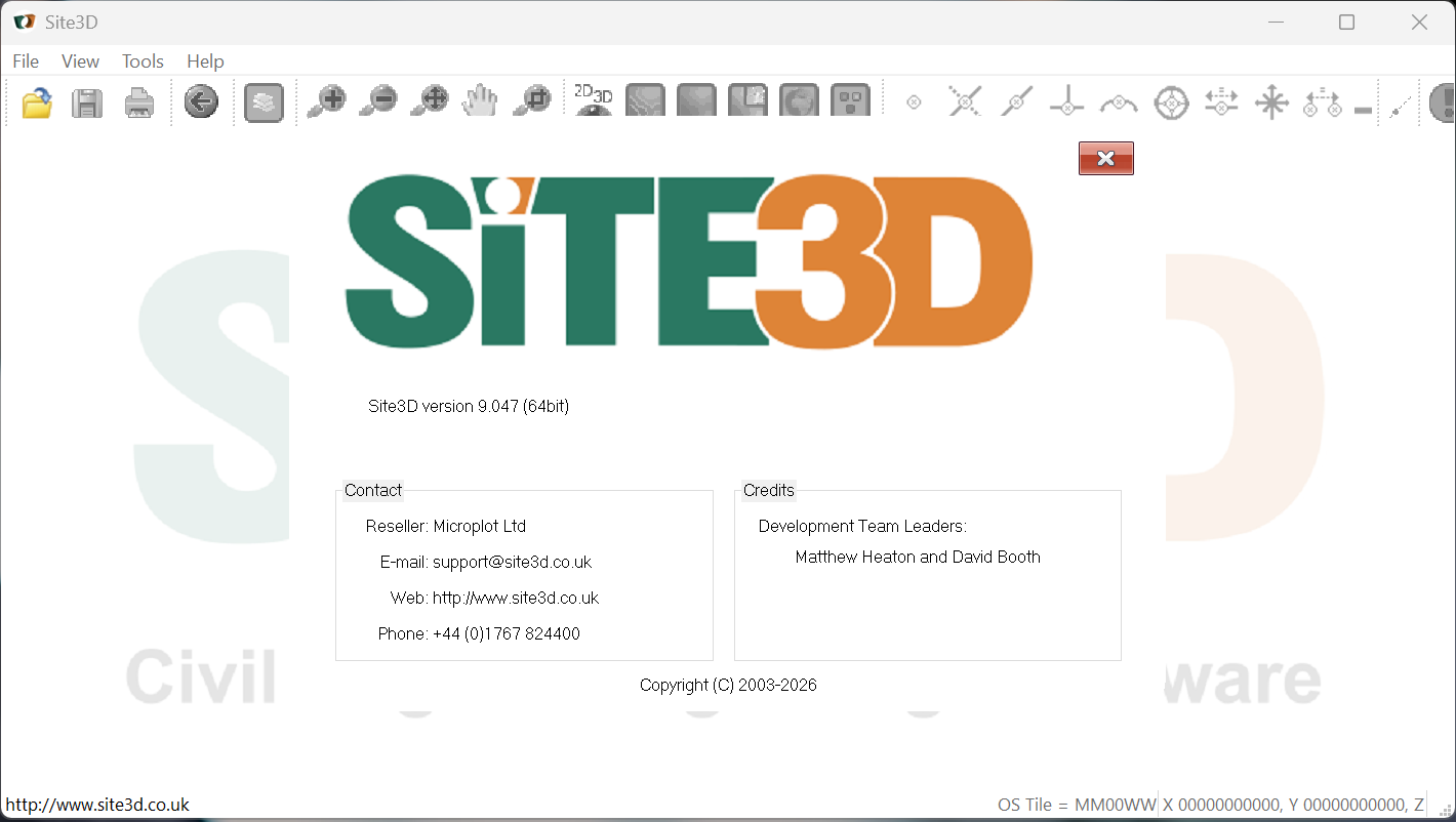
The Site3 D 9.047 software is widely used by engineering consultants, survey companies, local authorities, contractors, and transportation agencies looking for reliable civil design software that integrates surveying and engineering workflows.
Unlike many overly complex engineering platforms, Site3D focuses on delivering practical tools that help professionals complete projects efficiently without unnecessary complications.
Key Features of Site3D
Digital Terrain Modeling (DTM)
One of Site3D’s strongest capabilities is digital terrain modeling. Users can import survey data and create highly accurate terrain surfaces for analysis and design.
Key benefits include:
- Fast surface generation
- Terrain visualization
- Contour creation
- Elevation analysis
- Existing ground modeling
Accurate terrain models form the foundation of successful infrastructure projects, making this feature essential for engineers and surveyors.
Road and Highway Design
Site3D is particularly popular for road design projects. The software enables engineers to create road alignments and corridors while maintaining design standards.
Features include:
- Horizontal alignments
- Vertical alignments
- Cross-sections
- Corridor design
- Junction design
- Highway geometry analysis
This functionality makes Site3D a valuable solution for transportation engineering projects of various sizes.
Earthworks Calculation
Earthworks estimation is a critical aspect of construction planning and budgeting.
Site3D provides tools for:
- Cut-and-fill calculations
- Volume analysis
- Material quantity estimation
- Mass haul planning
- Surface comparisons
These capabilities help project teams reduce costly estimation errors and improve budget forecasting.
Survey Data Integration
Modern surveying generates vast amounts of data from multiple sources.
Site3D supports:
- Total station data
- GPS survey information
- Point cloud references
- CAD drawings
- Terrain datasets
This integration allows teams to move efficiently from field surveys to engineering design.
Site Grading Tools
Proper site grading is essential for drainage, safety, and construction efficiency.
The grading tools support:
- Platform design
- Building pad creation
- Slope analysis
- Retaining wall planning
- Development site preparation
Engineers can quickly optimize grading layouts while ensuring compliance with project requirements.
Drainage Design Support
Drainage plays a crucial role in infrastructure development.
Site3D assists with:
- Surface water management
- Drainage alignment planning
- Flow path analysis
- Infrastructure integration
By incorporating drainage considerations early in the design process, engineers can reduce future site problems.
CAD Compatibility
Many organizations rely on CAD software for documentation and drafting.
Site3D offers compatibility with common CAD workflows, allowing users to:
- Import design data
- Export engineering drawings
- Share project files
- Integrate with existing workflows
This flexibility improves collaboration between design teams and stakeholders.
Practical Use Cases of Site3D
Highway Engineering Projects
Transportation agencies and consulting firms frequently use Site3D for highway planning and road improvement schemes.
Typical applications include:
- New road construction
- Road widening projects
- Junction redesign
- Highway realignment
- Traffic corridor development
The software helps engineers maintain design standards while improving project efficiency.
Residential Land Development
Developers often need accurate grading and infrastructure planning before construction begins.
Site3D supports:
- Housing developments
- Subdivision planning
- Utility corridor design
- Site preparation
- Access road design
Its terrain modeling capabilities allow project teams to identify challenges early in the planning process.
Commercial Construction Projects
Commercial developments require extensive earthworks and grading calculations.
Professionals use Site3D for:
- Industrial facilities
- Retail developments
- Business parks
- Logistics centers
- Mixed-use developments
Accurate earthworks estimates help contractors control costs and improve bidding accuracy.
Municipal Infrastructure Planning
Local governments often manage complex infrastructure improvement projects.
Site3D assists with:
- Public road upgrades
- Urban development planning
- Stormwater infrastructure
- Community improvements
- Transportation networks
Its design tools help municipalities improve project planning and resource allocation.
Surveying and Mapping
Survey companies benefit from Site3D’s ability to transform field data into usable engineering models.
Survey applications include:
- Topographic mapping
- Terrain analysis
- Site investigations
- Construction staking preparation
- Existing conditions modeling
This streamlines the transition from data collection to project design.
Real-World User Experience
Many engineering professionals appreciate Site3D because it focuses on practical project workflows rather than overwhelming users with unnecessary complexity.
A typical engineering consultant might begin by importing survey data collected from a project site. After generating a terrain model, the engineer creates road alignments, develops cross-sections, and performs earthworks calculations. Throughout the process, Site3D provides visual feedback that helps identify potential issues before construction begins.
Contractors often value the software’s earthworks capabilities because accurate volume calculations directly impact project budgets and scheduling decisions.
Surveyors also benefit from the software’s efficient handling of terrain data, allowing them to deliver engineering-ready models more quickly.
Performance Analysis
Ease of Use
Site3D is generally regarded as easier to learn compared to some enterprise-level civil engineering platforms.
Advantages include:
- Intuitive interface
- Logical workflow structure
- Efficient design tools
- Reduced learning curve
This accessibility makes it attractive to both experienced engineers and newer professionals.
Design Accuracy
Accuracy remains one of Site3D’s strongest attributes.
The software supports:
- High-precision terrain modeling
- Accurate alignment calculations
- Reliable earthworks estimation
- Consistent engineering outputs
This level of precision is essential for infrastructure projects where small errors can result in significant costs.
Workflow Efficiency
Site3D helps reduce manual calculations and repetitive design tasks.
Efficiency benefits include:
- Faster project completion
- Improved productivity
- Reduced design revisions
- Streamlined project management
Organizations often report measurable time savings after incorporating Site3D into their workflow.
Scalability
The software performs well across various project sizes.
Suitable projects include:
- Small residential developments
- Medium-sized commercial projects
- Large transportation infrastructure schemes
- Municipal engineering programs
This versatility contributes to its popularity among diverse engineering professionals.
Pros and Cons of Site3D
Pros
- Powerful terrain modeling capabilities
- Comprehensive road design tools
- Accurate earthworks calculations
- User-friendly interface
- Strong surveying integration
- Efficient grading workflows
- Suitable for multiple infrastructure sectors
- Reliable engineering outputs
- Good balance between functionality and usability
- Supports professional civil engineering standards
Cons
- Advanced projects may require additional training
- Specialized features can take time to master
- Large datasets may require higher-performance hardware
- Some organizations may need integration with additional software platforms
- Feature availability may vary depending on licensing options
Pricing and Plans
Site3D licensing and pricing may vary depending on:
- Edition selected
- Licensing model
- Number of users
- Organizational requirements
- Support packages
Typically, professional engineering software providers offer customized licensing solutions tailored to businesses, consultants, government agencies, and surveying firms.
Potential buyers should evaluate:
- Project requirements
- Team size
- Workflow integration needs
- Long-term software investment goals
Requesting a current quotation from an authorized supplier is recommended to obtain accurate pricing information.
Why Site3D Stands Out in the Civil Engineering Software Market
The civil engineering software market includes numerous design platforms, yet Site3D continues to attract professionals because of its practical focus.
Key differentiators include:
- Efficient road design software capabilities
- Strong digital terrain modeling tools
- Accurate earthworks estimation
- Surveyor-friendly workflows
- Infrastructure-focused functionality
- Reduced project turnaround times
For organizations seeking civil engineering design software that combines usability with professional-grade features, Site3D remains a compelling option.
Final Verdict
Site3D is a highly capable civil engineering and road design software solution that delivers impressive terrain modeling, surveying integration, grading tools, and earthworks analysis within a streamlined workflow. Its ability to support highway design, land development, municipal infrastructure projects, and construction planning makes it a versatile platform for engineering professionals.
The software excels in areas that matter most to surveyors, civil engineers, contractors, and infrastructure consultants: accuracy, efficiency, and practical usability. While advanced projects may require some training and experience, the overall learning curve is manageable compared to many competing engineering platforms.
For organizations looking to improve project accuracy, accelerate design processes, and make better-informed construction decisions, Site3D represents a strong investment. Explore Site3D today to discover how its advanced terrain modeling and infrastructure design capabilities can help streamline your next engineering project and deliver more successful outcomes.



Reviews
There are no reviews yet.