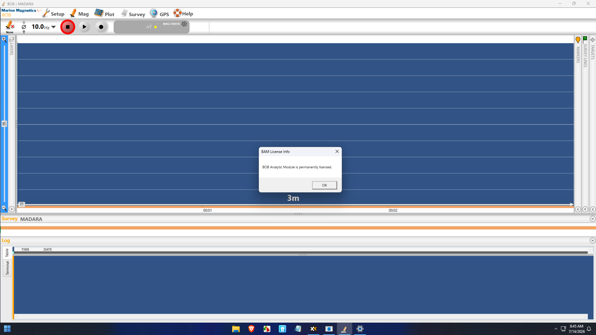
Description
BOB Survey Software Professional Surveying Software for Precision Mapping and Field Data Processing
Accurate land surveying is the foundation of successful construction, infrastructure development, engineering, and mapping projects. Whether you’re a professional surveyor, civil engineer, GIS specialist, or land development consultant, having reliable survey software can significantly improve productivity while minimizing costly errors.
BOB Survey Software has earned a reputation as a dependable surveying and mapping solution designed to simplify field data collection, coordinate calculations, terrain modeling, and survey project management. Its intuitive workflow allows professionals to process survey information efficiently while maintaining high levels of accuracy.
This comprehensive BOB Survey Software review explores its features, practical applications, performance, advantages, limitations, pricing information, and overall value to help determine whether it’s the right surveying solution for your business.
Introduction
Surveying projects require much more than simply collecting coordinates. Modern professionals need software capable of handling multiple survey instruments, processing large datasets, generating detailed reports, and producing reliable outputs for engineers and designers.
BOB Survey Software addresses these challenges by offering a centralized platform for managing survey workflows from raw field observations to finished deliverables.
Instead of manually calculating points or organizing complex survey files, users can automate much of the process while maintaining professional accuracy across projects.
Whether working on highways, residential developments, mining operations, utility mapping, or topographic surveys, the software helps streamline day-to-day surveying tasks.
Key Features of BOB Survey Software
Advanced Survey Data Processing
One of the strongest capabilities of BOB Survey Software is efficient field data processing.
The software supports:
- Raw survey data import
- Coordinate adjustment
- Traverse calculations
- Point management
- Elevation processing
- Data verification
This significantly reduces manual calculations while improving consistency.
Topographic Survey Management
Surveyors frequently work with terrain information that must be converted into usable maps.
BOB Survey Software assists with:
- Contour generation
- Terrain analysis
- Surface modeling
- Ground elevation calculations
- Digital terrain models (DTM)
These tools help produce accurate topographic deliverables for engineering projects.
Coordinate Calculations
Precise coordinate calculations are essential in professional surveying.
The software includes tools for:
- Bearings
- Distances
- Azimuth calculations
- Coordinate geometry (COGO)
- Area computation
- Point intersections
These features help reduce mathematical errors while increasing efficiency.
Survey Drawing Creation
Creating professional survey drawings is an important part of every surveying workflow.
BOB Survey Software helps users produce:
- Boundary plans
- Plot layouts
- Site maps
- Engineering drawings
- Parcel divisions
- Survey sketches
These outputs are useful for clients, contractors, and government agencies.
Instrument Compatibility
Modern surveyors often use multiple hardware devices.
BOB Survey Software is designed to work alongside common surveying equipment including:
- Total stations
- GPS receivers
- GNSS devices
- Electronic data collectors
This flexibility allows professionals to integrate field equipment into a single workflow.
Data Import and Export
Interoperability is essential in engineering projects.
The software supports various import and export capabilities for smooth collaboration with:
- CAD software
- GIS platforms
- Engineering applications
- Mapping systems
This helps eliminate unnecessary file conversions.
Practical Use Cases
BOB Survey Software serves professionals across numerous industries.
Land Surveying Companies
Survey firms can process daily field observations, prepare legal survey documents, and produce client-ready deliverables faster than manual methods.
Civil Engineering Projects
Civil engineers often require precise terrain information before designing roads, bridges, and infrastructure.
BOB Survey Software assists with:
- Site surveys
- Road alignments
- Earthwork calculations
- Construction layouts
Construction Industry
Construction companies benefit from accurate stakeout information, leveling data, and site verification throughout every phase of development.
Government Mapping Departments
Municipal agencies can manage public land surveys, utility mapping, zoning information, and infrastructure planning using organized survey databases.
Mining Operations
Mining engineers require accurate topographic information and volume calculations.
BOB Survey Software supports these activities with dependable terrain processing tools.
Agricultural Land Development
Large agricultural projects often require precise boundary mapping, irrigation planning, and land subdivision.
Survey software simplifies these complex tasks.
Real-World User Experience
Imagine a surveying company responsible for preparing site data for a new industrial park.
Without professional software, technicians may spend hours manually processing field measurements, calculating coordinates, checking elevations, and preparing drawings.
Using BOB Survey Software, the workflow becomes significantly faster.
Survey data collected in the field can be imported directly into the project. Coordinate calculations are automatically processed, terrain models are generated quickly, and final drawings can be prepared with minimal manual effort.
The result is greater productivity, improved accuracy, and faster project delivery.
This efficiency becomes even more valuable for organizations handling multiple survey projects simultaneously.
Performance Analysis
Performance is one of the strongest aspects of BOB Survey Software.
The software is designed to process large surveying datasets while maintaining reliable calculation accuracy.
Notable performance strengths include:
- Fast survey data processing
- Stable operation on large projects
- Reliable coordinate calculations
- Efficient terrain modeling
- Smooth project organization
- Reduced manual data entry
Survey professionals often appreciate software that saves time without sacrificing precision, and BOB Survey Software performs well in this area.
Benefits of Using BOB Survey Software
Using dedicated survey software offers numerous operational advantages.
Some of the biggest benefits include:
- Faster project completion
- Improved survey accuracy
- Reduced human error
- Better project organization
- Easier collaboration
- Professional-quality outputs
- Streamlined reporting
- Simplified field data processing
- Increased productivity
- Better decision-making through accurate mapping
These advantages can lead to significant time and cost savings over the life of multiple projects.
Pros and Cons
Pros
- User-friendly interface
- Comprehensive surveying tools
- Accurate coordinate calculations
- Efficient topographic mapping
- Supports multiple survey workflows
- Helps reduce manual calculations
- Professional reporting capabilities
- Suitable for engineering and surveying professionals
- Improves project efficiency
- Reliable performance on complex datasets
Cons
- New users may require initial training
- Advanced projects benefit from surveying knowledge
- Pricing information may vary depending on licensing and vendor
Pricing & Plans
BOB Survey Software pricing may differ depending on:
- License type
- Business requirements
- Software edition
- Commercial or professional use
- Support options
- Update policies
Organizations considering the software should review the available licensing options to determine the most suitable package for their workflow and budget.
Why Professionals Choose BOB Survey Software
Surveying professionals often prioritize three critical factors:
- Accuracy
- Reliability
- Efficiency
BOB Survey Software addresses each of these needs by providing practical tools that simplify everyday surveying tasks while maintaining professional standards.
From small land surveys to large infrastructure developments, the software supports consistent project delivery without adding unnecessary complexity.
Its ability to combine field data processing, mapping, coordinate calculations, and reporting into a unified workflow makes it a valuable solution for businesses seeking dependable surveying software.
Final Verdict
BOB Survey Software stands out as a capable and practical surveying solution for professionals who demand accuracy, efficiency, and reliable project management. Its combination of field data processing, coordinate calculations, terrain modeling, mapping tools, and reporting features makes it suitable for a wide range of surveying and engineering tasks.
Whether you’re managing boundary surveys, infrastructure projects, construction layouts, mining operations, or topographic mapping, the software provides the tools needed to streamline workflows while maintaining precision.
For organizations seeking dependable land surveying software that improves productivity and supports professional-quality deliverables, BOB Survey Software is a strong option worth exploring. Evaluate its available licensing plans, assess how its features align with your project requirements, and consider incorporating it into your surveying workflow to enhance efficiency and deliver accurate results with confidence.




Reviews
There are no reviews yet.