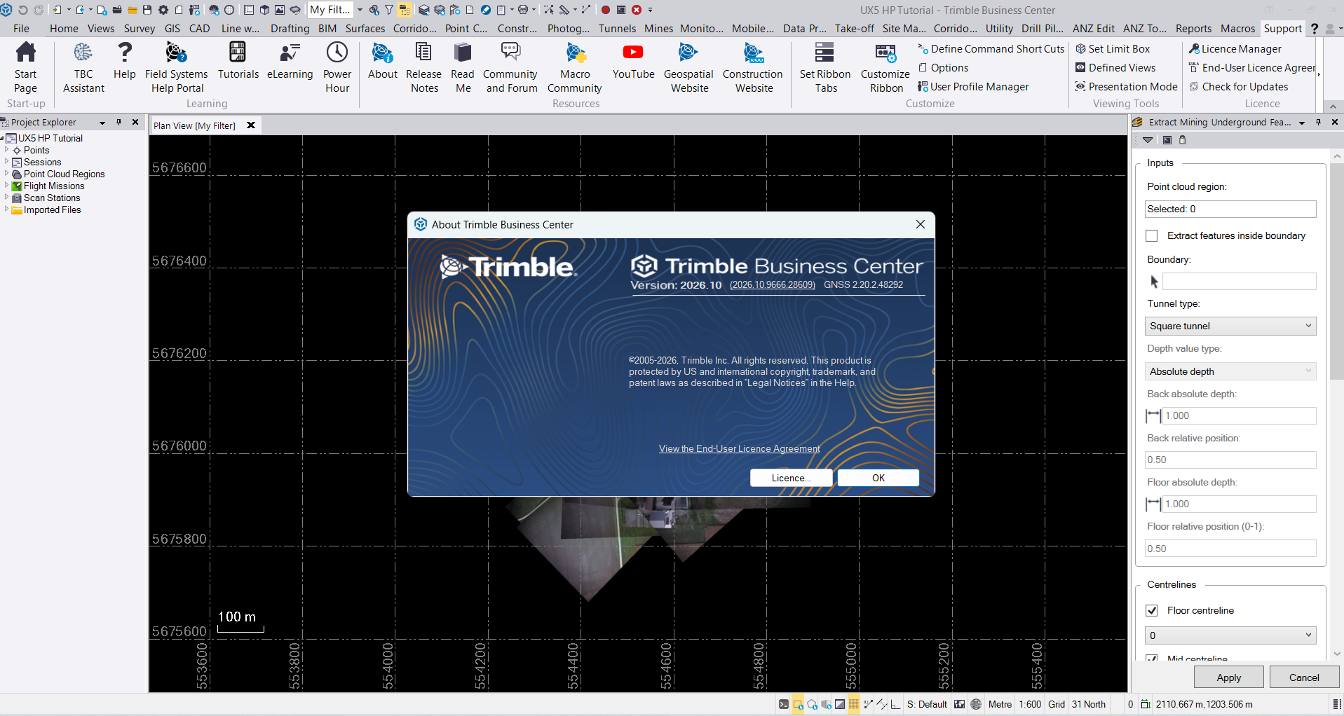
Description
Trimble Business Center Officer Software: Complete Review, Features, Use Cases, and Performance Analysis
Summary
Trimble Business Center Officer Software is best understood as an office-focused solution for surveyors, civil construction professionals, engineers, and site teams that need to turn field measurements and project data into accurate, usable information. It brings together workflows such as survey data processing, CAD drafting, surface modeling, quantity calculations, GNSS post-processing, point-cloud management, construction modeling, and field-ready data preparation within one working environment.
In practical terms, the biggest advantage is workflow continuity. Instead of moving repeatedly between disconnected applications, teams can process field data, check measurements, develop surfaces, create models, calculate quantities, prepare deliverables, and send information toward field operations from a centralized environment.
For companies working with GNSS receivers, total stations, drones, scanners, point clouds, or machine-control workflows, Trimble Business Center can become an important link between what happens on the jobsite and what needs to happen in the office. Its value is especially noticeable on projects where accuracy, data consistency, and fast turnaround directly affect productivity and project costs.
Introduction
Modern surveying and civil construction projects generate enormous amounts of data. A single job can involve GNSS observations, total-station measurements, drone imagery, point clouds, CAD drawings, terrain models, alignments, quantities, and machine-control files.
The challenge is not simply collecting this information. The real challenge is making sure the data is accurate, organized, and useful.
This is where Trimble Business Center Officer Software fits into the workflow.
Trimble Business Center, commonly referred to as TBC, is designed as a comprehensive office software environment for survey and construction professionals. Its workflows cover everything from field-data processing to 3D modeling, construction preparation, and project deliverables.
For a survey technician returning from the field, for example, the workflow can move from raw measurements to quality control, adjustment, surface creation, drafting, reporting, and export without requiring an unnecessarily fragmented process.
That makes the software particularly interesting for organizations that need both surveying and construction capabilities in one environment.
Key Features of Trimble Business Center Officer Software
1. Survey Data Processing
One of the most important strengths of Trimble Business Center is its ability to process and manage survey information.
Users can work with data from GNSS receivers, total stations, levels, and other surveying equipment. Depending on the software edition and available modules, workflows can include GNSS post-processing, traverse adjustments, leveling, site calibration, coordinate-system management, and quality-control operations.
For survey professionals, this means office processing becomes more structured and easier to manage.
2. 3D Surface Modeling
Creating accurate terrain surfaces is essential for civil engineering and construction projects.
Trimble Business Center provides tools for creating and editing surfaces, analyzing terrain, generating contours, and examining cut-and-fill information.
A site engineer can use these capabilities to compare existing ground conditions with proposed designs and identify areas where excavation or material placement may need attention.
3. CAD and Drafting Workflows
The software includes CAD and drafting functionality for producing survey linework, construction drawings, layouts, and other project deliverables.
This is useful when survey data needs to become something that engineers, contractors, designers, or project managers can easily understand.
Rather than treating raw survey measurements as the final output, TBC helps transform them into organized project information.
4. Earthwork and Quantity Calculations
Earthwork calculations are another major reason construction teams consider Trimble Business Center.
Users can work with surfaces and project models to calculate quantities, evaluate cut and fill, and analyze material movement.
For contractors, these calculations can support:
- Earthwork estimation
- Material quantity analysis
- Cut-and-fill comparisons
- Mass haul planning
- Construction progress evaluation
- Project takeoff workflows
Accurate quantity information can have a direct impact on project profitability because even relatively small estimation errors can become expensive on large earthmoving projects.
5. Point Cloud Processing
Modern surveying increasingly depends on laser scanning, mobile mapping, and other reality-capture technologies.
Trimble Business Center supports point-cloud workflows that allow professionals to manage, inspect, classify, and extract useful information from large datasets.
This can be particularly valuable when conventional surveying alone is not sufficient for documenting complex environments.
6. Drone and Photogrammetry Workflows
Drone data has become increasingly common in surveying and construction.
TBC can process aerial data and help users create deliverables such as orthomosaics and surface models. This creates a practical bridge between drone-based data collection and engineering or construction workflows.
For a contractor surveying a large site, drone-based data can provide broad coverage while reducing the amount of time required for certain manual measurements.
7. Road and Corridor Modeling
Road construction involves complex relationships between alignments, profiles, surfaces, corridors, slopes, and quantities.
Trimble Business Center provides specialized tools for roadway and corridor workflows, depending on the edition and modules being used.
Professionals can work with alignments, roadway designs, surfaces, corridor elements, and construction quantities to prepare more usable project models.
8. Field-to-Office Connectivity
One of the strongest aspects of the Trimble ecosystem is its connection between office and field workflows.
A construction office may prepare or modify a model and then transfer appropriate information toward field systems and machine-control workflows.
This reduces the traditional gap between design information sitting on an office computer and the data actually being used by crews on the jobsite.
Practical Use Cases
Land Surveying
Survey companies can use Trimble Business Center to process observations, perform adjustments, manage coordinate systems, create surfaces, prepare drawings, and produce client deliverables.
For a surveyor handling multiple projects every week, having these workflows available in one environment can make daily processing more predictable.
Civil Construction
Civil contractors can use TBC for site modeling, earthwork analysis, quantities, takeoffs, roadway preparation, and machine-control data preparation.
Consider a highway project where the contractor needs to compare existing terrain against proposed roadway geometry. Instead of relying only on separate spreadsheets and disconnected calculations, the team can work directly with survey and 3D model information.
Machine Control
Construction equipment increasingly depends on digital terrain and design models.
Trimble Business Center can help prepare construction-ready models that support machine-control workflows. This can help operators work from more consistent digital information and reduce unnecessary rework.
Drone Surveying
Large construction sites can be difficult to survey manually on a frequent basis.
Drone data can provide a broader picture of the site. After processing, the resulting information can be incorporated into terrain modeling, measurements, quantity calculations, and progress-related workflows.
As-Built Documentation
Survey and construction teams can also use TBC to compare measured conditions with planned designs.
This can help identify discrepancies and produce more useful as-built documentation for clients and project records.
Performance Analysis
The performance of Trimble Business Center depends heavily on the project size, selected edition, available modules, computer hardware, and dataset complexity.
With normal survey projects, the software can provide an efficient environment for processing measurements and producing deliverables. The benefits become even more apparent when multiple types of project data need to work together.
Large point clouds, detailed surfaces, drone datasets, and complex 3D construction models naturally require more processing power and memory.
A workstation with a modern multi-core processor, sufficient RAM, fast storage, and capable graphics hardware is therefore a sensible choice for professional users working with demanding datasets.
From a workflow perspective, however, performance is not just about processing speed. The ability to keep survey, CAD, modeling, quantity, and construction information connected can save time that would otherwise be spent converting files and checking compatibility.
User Experience
For experienced surveyors and civil construction professionals, the software’s extensive toolset can be a major advantage.
A user who regularly processes GNSS data, works with surfaces, prepares construction models, and calculates quantities can benefit from having these workflows available within the same general environment.
However, beginners may initially find TBC more complex than basic surveying applications.
The software is designed for professional workflows, so learning its tools and understanding which edition or module is required for a particular task can take time.
The best experience usually comes when teams establish consistent project templates, file-management procedures, coordinate-system standards, and quality-control routines.
Pros and Cons
Pros
- Comprehensive office environment for surveying and construction
- Strong GNSS and survey-data processing capabilities
- Advanced surface and 3D modeling workflows
- Useful earthwork and quantity calculations
- Support for point-cloud and reality-capture workflows
- Drone and photogrammetry capabilities
- Roadway and corridor modeling options
- Strong connection between office and field workflows
- Suitable for professional-scale projects
- Can reduce dependence on multiple disconnected applications
Cons
- Learning curve can be significant for new users
- Advanced functionality depends on editions and modules
- Large datasets may require a powerful workstation
- Professional licensing can represent a substantial investment
- Smaller projects may not require the full range of capabilities
Pricing and Plans
Trimble Business Center is offered through different licensing and software configurations, with functionality varying according to the selected edition, modules, and licensing arrangement.
Because professional software licensing can change by region, version, subscription status, and available modules, there is no single price that applies to every user.
Potential buyers should evaluate the workflows they actually need before choosing an edition. A surveying company focused on GNSS processing may have different requirements from a civil contractor primarily interested in earthwork, corridor modeling, and construction quantities.
This modular approach can be beneficial because organizations can match software capabilities to their operational requirements rather than paying for functionality they will rarely use.
Who Should Use Trimble Business Center Officer Software?
Trimble Business Center Officer Software is particularly suitable for:
- Land surveyors
- Survey technicians
- Civil engineers
- Construction contractors
- Site engineers
- Road and infrastructure teams
- Quantity and earthwork specialists
- Drone surveying professionals
- Point-cloud and reality-capture teams
- Machine-control professionals
- Companies managing office-to-field construction workflows
It may be excessive for someone who only needs basic 2D drafting or simple measurement calculations. Its real value appears when projects involve significant amounts of survey, terrain, construction, or 3D data.
Download Trimble Business Center Officer Software Developer
Download Trimble Business Center Officer Software 2026.10 Download
Final Verdict
Trimble Business Center Officer Software stands out because it addresses a problem that many professional teams face every day: turning large amounts of field data into reliable information that can actually be used for design, construction, measurement, and decision-making.
Its combination of survey processing, CAD, 3D modeling, surfaces, quantities, point clouds, drone workflows, roadway tools, and field-data preparation makes it much more than a basic survey-processing application.
For a small project with simple requirements, the software may offer more functionality than necessary. But for professional survey companies, civil contractors, infrastructure teams, and organizations working with modern digital construction workflows, its broad capabilities can justify the learning investment.
The biggest benefit is ultimately workflow efficiency. When measurements, models, quantities, drawings, and construction data remain connected, teams have fewer opportunities for inconsistent information and unnecessary rework.




Reviews
There are no reviews yet.